

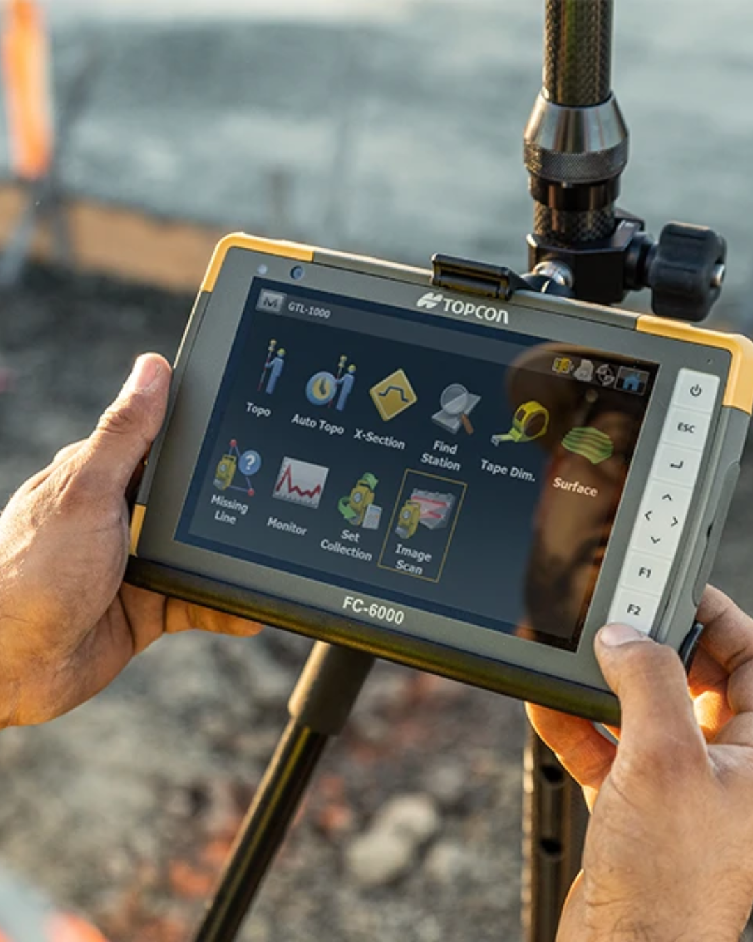
You arrive on site, switch on the GNSS rover and expect to be working within a few minutes.
Instead, the receiver sits in Float, shows Standalone, refuses to connect to TopNET Live or appears connected but still will not produce an RTK Fixed solution.
Where do you start?
The important thing is not to change every setting at once.
RTK positioning relies on several things working together:
- The receiver needs to track suitable satellites
- Satellite geometry needs to be acceptable
- The rover needs a working correction source
- The internet or radio link needs to be functioning
- The correction format and configuration need to be compatible
- The project and antenna settings need to be correct
A problem with any one of these can prevent the rover from reaching the expected solution.
This guide works through those checks in a logical order, with particular reference to Topcon GNSS receivers and TopNET Live.
This article is intended as general troubleshooting guidance.
It has been prepared using information from Topcon Positioning Systems technical documentation and product resources together with general GNSS surveying practice.
Receiver behaviour and RTK performance can depend on equipment configuration, firmware, correction services, mobile or radio communications, satellite conditions, project setup and the field environment.
Always refer to the current manufacturer documentation and your project requirements before changing receiver settings, correction configurations, firmware or survey control.
First: what problem are you actually seeing?
Before changing anything, identify the symptom.
There is a difference between:
- The receiver not switching on
- The rover not tracking satellites
- The rover having no internet connection
- TopNET Live not connecting
- NTRIP connecting but no corrections arriving
- The rover remaining in Float
- The rover showing Standalone or Autonomous
- The rover reaching Fixed but displaying unexpected coordinates
- The rover fixing normally in one location but not another
Each points towards a different part of the system.
A useful troubleshooting process is therefore:
Power → satellites → communications → corrections → RTK solution → project setup
 Step 1: is the receiver powered and operating normally?
It sounds obvious, but power problems can appear as communication or positioning problems.
Topcon notes that if the HiPer XR battery becomes fully discharged, the receiver and its communication ports stop operating.
Before looking at NTRIP settings or correction services, check:
- Receiver battery level
- Controller battery level
- External power connections, if used
- Whether the receiver is responding normally
- Whether the controller can communicate with the receiver
If a receiver has become unresponsive, a normal power cycle is one of Topcon’s first troubleshooting steps.
Do not jump immediately to factory resets.
A reset can remove configuration settings and should normally come later in the troubleshooting process.
Step 2: is the rover actually tracking satellites?

TopNET Live cannot create an RTK position if the receiver itself does not have suitable GNSS observations.
Check the receiver’s satellite or sky view.
Do not look only at the number of satellites.
The rover also needs a useful distribution of satellites across the sky.
Buildings, structures, trees and other obstructions can reduce satellite visibility.
If the system works perfectly in an open area but struggles beside a building or underneath heavy tree cover, the environment itself may be an important part of the problem.
Topcon’s HiPer XR guidance recommends operating the equipment where there is a clear view of the sky and identifies poor satellite geometry as a possible reason for failing to obtain an RTK solution.
Step 3: check PDOP and satellite geometry
One of the specific causes Topcon lists for failing to obtain an RTK solution is unsatisfactory satellite geometry – PDOP values too high.
PDOP stands for Position Dilution of Precision.
It is an indicator of how favourable the arrangement of the satellites is for determining a three-dimensional position.
As a general principle:
- Lower PDOP = stronger geometry
- Higher PDOP = weaker geometry
If PDOP is unusually high, try moving to a location with a clearer view of the sky and see whether the situation improves.
Topcon also identifies the receiver’s elevation mask as something to check when diagnosing high-PDOP conditions.
The important point is that a rover can be tracking numerous satellites while still having poor geometry.
Step 4: could multipath be affecting the rover?
Satellite visibility is only part of the story.
GNSS signals can also reflect from surrounding surfaces before reaching the antenna.
This is known as multipath.
Common environments where this can become more problematic include:
- Beside buildings
- Close to walls
- Around large metal structures
- Beside vehicles or heavy plant
- In narrow urban locations
- Under or close to substantial structures
If the rover will not fix in one particular location, move away from the obstruction and observe what happens.
If the solution improves significantly, the local environment may be affecting the GNSS observations rather than there being a fault with TopNET Live.
Step 5: does the rover have an internet connection?
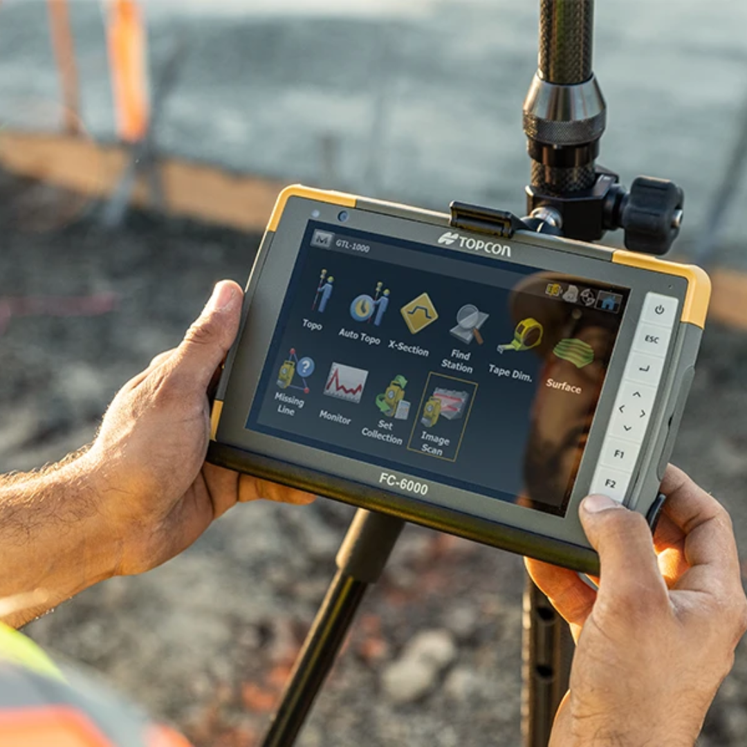
If you are using TopNET Live through NTRIP, the rover or controller needs a working internet connection.
This normally means mobile data is involved somewhere in the system.
Depending on the equipment configuration, that could be through:
- A modem built into the GNSS receiver
- The field controller
- A SIM card
- A mobile hotspot
- Another supported internet connection
Before changing GNSS settings, check whether the device responsible for the data connection can actually access the internet.
A rover can have excellent satellite visibility but still remain without Network RTK corrections if its mobile-data connection has failed.
Step 6: can you connect to the NTRIP caster?

NTRIP is commonly used to deliver Network RTK corrections over the internet.
The rover or controller operates as the NTRIP client and connects to an NTRIP caster.
For the connection to work, you typically need the correct:
- Caster or server address
- Port
- Username
- Password
- Mountpoint
An error in any of these can prevent corrections from reaching the rover.
If TopNET Live has previously worked and suddenly stops, do not immediately assume the receiver is faulty.
First check:
- Mobile data
- Account credentials
- Caster details
- Mountpoint
- TopNET Live network status
Step 7: check the TopNET Live account details

Topcon states that TopNET Live subscribers receive separate NTRIP credentials for their survey equipment.
The TopNET Live web portal can also be used to manage account information and view account usage.
If the rover refuses to authenticate, check whether:
- The username is correct
- The password has been entered correctly
- The subscription is current
- The credentials being used are the NTRIP credentials rather than the separate portal login
This last point is easy to overlook because Topcon provides separate credentials for the correction connection and the web portal.
Step 8: use the TopNET Live NTRIP checker

This is one of the most useful troubleshooting tools Topcon provides.
Topcon states that the TopNET Live mobile app includes an NTRIP checker, allowing users to test their NTRIP account details independently.
That can help answer an important question:
Is the problem with my TopNET Live login, or with the rover/configuration?
If the NTRIP credentials work independently but the receiver will not connect, attention can move towards the receiver or field-software configuration.
If the credentials themselves fail the independent test, there is little value in changing satellite or RTK settings on the rover until the account issue is resolved.
Step 9: check TopNET Live network status

Topcon’s TopNET Live portal provides real-time information about the network.
This includes the status of reference stations and information including the number of satellites being tracked.
The mobile application can also show reference-station status in the field.
This gives you another useful distinction:
Is my equipment having a problem, or is there an issue affecting the correction network?
Checking network status early can prevent unnecessary changes to a rover that is configured correctly.
Step 10: is the correct mountpoint selected?

A successful NTRIP login does not automatically mean the correct correction stream is being used.
The mountpoint is the individual correction stream selected from the NTRIP caster.
TopNET Live can provide different mountpoints for different correction approaches and message formats.
Topcon has historically documented examples including Network RTK and nearest-reference-station streams, as well as MSM-based streams for receivers capable of using additional constellation information.
Do not select a mountpoint simply because it appears in the list.
The appropriate stream depends on:
- Receiver capability
- Firmware
- Field-software configuration
- Correction format
- Available GNSS signals
- Current TopNET Live service guidance
If the system has previously worked, compare the current mountpoint against the known working configuration.
If you are setting up a receiver for the first time, follow the current Topcon or correction-service guidance rather than relying on an old configuration from another receiver.
Step 11: is correction data actually reaching the rover?
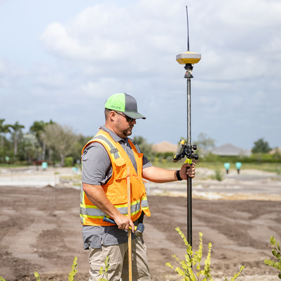
There is a difference between:
Connected to the internet
and
Receiving usable GNSS corrections.
The controller may show mobile data connectivity while the NTRIP connection itself is disconnected.
Likewise, an NTRIP session may appear to start while the receiver is not actually receiving or using the required correction messages.
Check the field software or receiver status screens for information about:
- Correction connection
- Correction data
- RTK status
- Data link status
- Correction age, where displayed
Topcon’s HiPer XR web interface includes status information covering receiver position and data links, and its NTRIP settings allow users to configure NTRIP functionality and review caster statistics.
Step 12: what is correction age?

Some field systems display the age of corrections.
This indicates how old the most recently received correction information is.
If corrections stop arriving, the age will increase.
That can be useful because it helps distinguish between:
- A GNSS satellite problem
- A correction-data problem
If the rover was Fixed, then starts losing its solution while correction age increases, the communication link deserves attention.
Possible causes might include:
- Mobile coverage loss
- NTRIP connection interruption
- Radio interruption
- Correction-service connection issues
The exact acceptable correction age depends on the system and workflow, so it should not be treated as one universal pass/fail number.
Step 13: why is the rover stuck in Float?

A rover in Float has an RTK solution, but the carrier-phase ambiguities have not been fully resolved to the Fixed state required for precision RTK work.
If the rover remains in Float, work through the problem systematically.
Check:
- Satellite visibility
- PDOP
- Surrounding obstructions
- Multipath
- Correction connection
- Mountpoint
- Correction format
- Communications
- Base or network configuration
Topcon specifically identifies unsatisfactory satellite geometry as one cause of failing to obtain an RTK solution.
In a conventional base-and-rover system, it also identifies correction-format mismatches, radio configuration differences, interference and excessive distance between base and rover.
Do not simply keep measuring points because the system is “nearly Fixed”.
For precision RTK work, establish why the solution is not resolving correctly.
Step 14: if using a base and rover, do the radio settings match?

This applies when you are using your own RTK base rather than Network RTK.
Topcon states that the base and rover radio parameters need to match.
The HiPer XR troubleshooting documentation specifically lists:
- Channel or frequency
- Modulation
- Protocol
- Link rate
If these parameters differ, the rover may not receive the corrections transmitted by the base.
This is a useful distinction when troubleshooting:
- TopNET Live / Network RTK: investigate internet, NTRIP, account and correction stream
- Local base and rover: investigate base operation, radio communication and correction format
Step 15: is radio interference affecting a base-and-rover setup?

Topcon also lists radio interference as a possible reason for failing to obtain an RTK solution.
If a local radio RTK system is unreliable, potential checks include:
- Trying another permitted RF channel where appropriate
- Looking for possible sources of interference
- Repositioning radio antennas
- Confirming suitable antennas are fitted
Topcon also states that the radio antenna needs to be appropriate for the radio and frequency band in use.
This is another reason not to assume every “no fix” problem is a satellite problem.
Step 16: are the correction formats compatible?
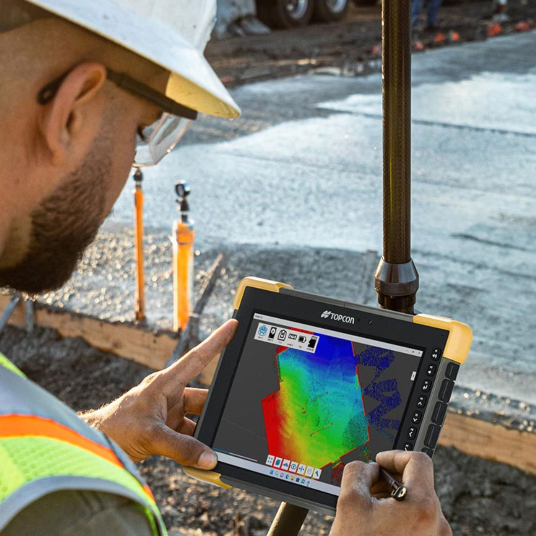
The base can be transmitting and the rover can be receiving data, but the two systems still need to use compatible correction formats.
Topcon specifically lists a discrepancy between the differential corrections used by the base and rover as a cause of no RTK solution.
Its recommended action is to make sure the base output and rover input use the same GNSS correction format.
The same principle is useful when using NTRIP.
The selected mountpoint needs to provide correction messages suitable for the receiver and configuration.
Step 17: is the rover too far from the base station?

This applies primarily to local RTK base-and-rover operation.
Topcon identifies excessive distance between the base station and rover as another possible cause of failure to obtain an RTK solution.
Distance can affect both:
- The radio communication link
- The effectiveness of a single-base RTK solution
If the rover works reliably close to the base but becomes increasingly unreliable as you move further away, distance and communication coverage should be investigated.
Network RTK services operate differently because they use permanent reference-station infrastructure rather than your own local radio base.
Step 18: are the base-station coordinates correct?

This is a particularly important one.
Topcon explicitly lists incorrect base-station coordinates as a cause of RTK problems.
The base is the reference for the rover.
If the base is configured with the wrong coordinates, the rover can inherit that error.
This is why you should not judge an RTK survey solely from the word Fixed appearing on the controller.
The receiver can successfully resolve the RTK solution while the wider survey configuration is wrong.
Step 19: the rover says Fixed, but the coordinates are wrong

This deserves its own troubleshooting category.
Fixed does not always mean correct.
If the rover is Fixed but the coordinates or levels do not agree with known control, investigate the project configuration rather than the satellite solution alone.
Check:
- Base-station coordinates
- Coordinate system
- Datum
- Transformation
- Site localisation or calibration
- Control points
- Antenna height
- Receiver or antenna model
- Project files
Do not keep surveying simply because the rover remains Fixed.
A consistent wrong answer can be more dangerous than an obvious failure to fix.
Step 20: check the antenna height
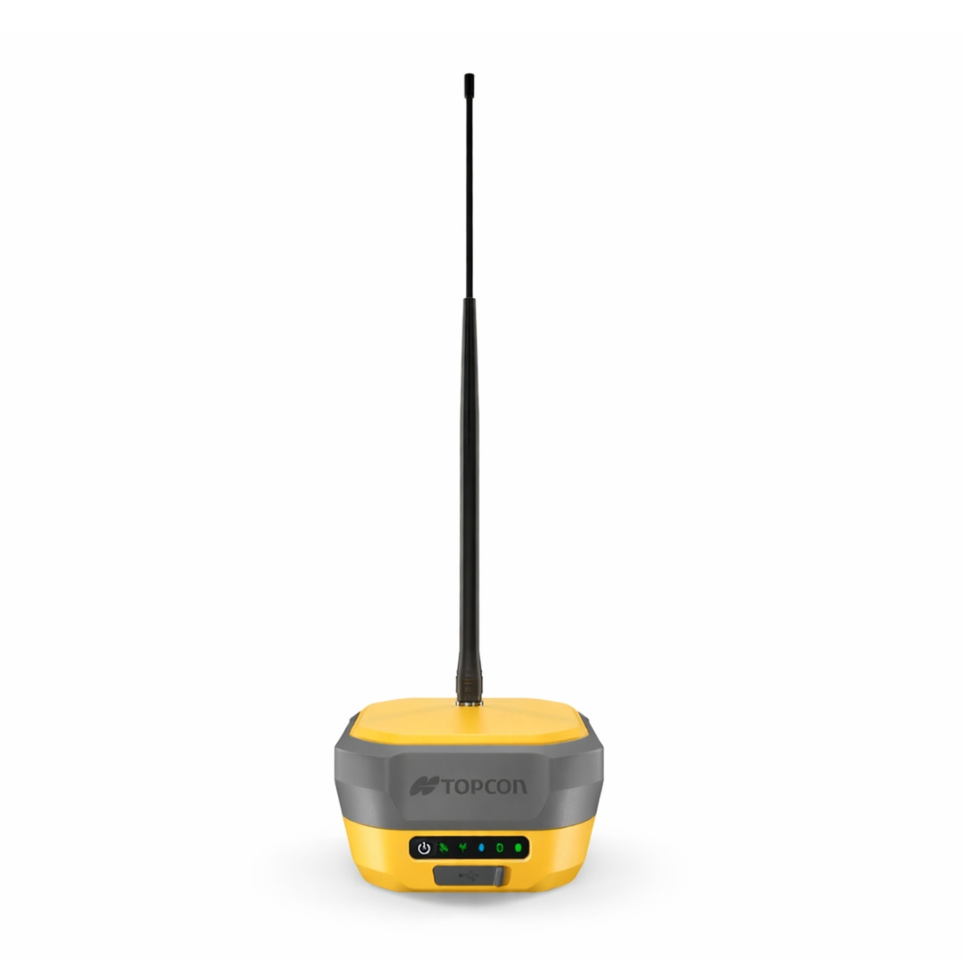
Topcon’s technical documentation explains that the GNSS receiver calculates the coordinates of its antenna phase centre rather than directly measuring the point at the bottom of the pole.
The survey software uses:
- The receiver or antenna model
- Antenna phase-centre information
- The measured Antenna Reference Point height
to calculate the position of the actual survey point.
That means an incorrectly entered antenna or pole height can cause a wrong point coordinate even when the rover is completely Fixed.
If horizontal position looks sensible but the level appears wrong, antenna height should be one of the checks.
Topcon states that a reliable ARP height measurement and correct antenna model are required for accurate station-marker coordinates.
Step 21: check the receiver firmware
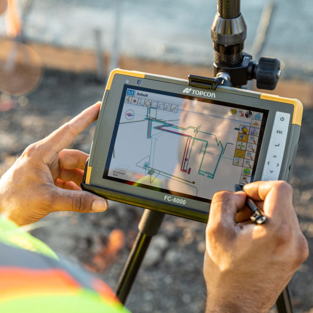
Topcon recommends ensuring that the current receiver firmware is installed as part of its initial troubleshooting process.
Firmware updates can contain GNSS options, improvements and fixes.
Before updating anything:
- Confirm the receiver model
- Check the existing firmware version
- Use Topcon’s current support resources
- Follow the manufacturer’s update procedure
Do not interrupt the receiver during a firmware update.
Topcon notes that the HiPer XR automatically restarts after a completed firmware installation.
Step 22: should I reset the receiver?
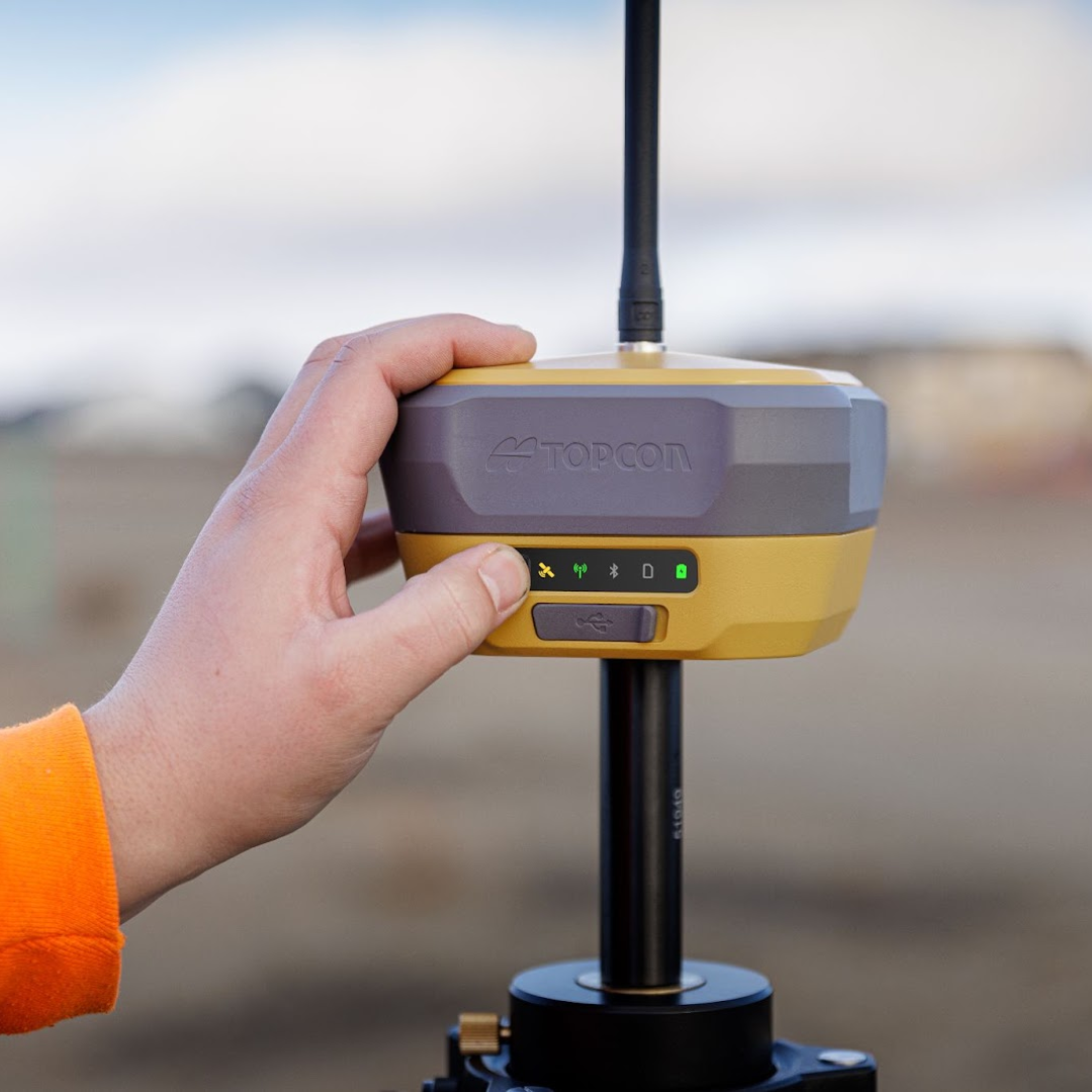
A receiver reset can be useful, but it should not be the first response to every GNSS problem.
Topcon’s HiPer XR troubleshooting guidance starts with a power cycle and also documents parameter resets and factory-reset procedures.
However, resets can remove configuration information.
A full factory reset is particularly significant because it removes user configuration and other stored receiver settings.
Before resetting a receiver, consider recording or exporting the current configuration where appropriate.
If a problem can be traced to incorrect NTRIP credentials, poor mobile signal or an unsuitable mountpoint, resetting the entire receiver is unlikely to be the most efficient solution.
A practical TopNET Live troubleshooting order
If your rover normally works with TopNET Live but will not reach RTK Fixed today, try working through these checks in order.
| Check | What to look for |
|---|---|
| 1. Receiver | Powered, responding and connected to controller |
| 2. Satellites | Suitable satellites being tracked |
| 3. Environment | Clear sky, away from major obstructions where possible |
| 4. PDOP | Check whether satellite geometry is unusually poor |
| 5. Internet | Mobile-data connection working |
| 6. NTRIP | Caster connection established |
| 7. Account | Correct NTRIP username and password |
| 8. TopNET status | Check reference-station/network status |
| 9. Mountpoint | Suitable correction stream selected |
| 10. Corrections | Confirm data is actually reaching the rover |
| 11. RTK status | Fixed, Float or Standalone |
| 12. Project setup | Correct coordinate system, control and localisation |
| 13. Antenna height | Correct pole/ARP height entered |
| 14. Firmware | Receiver running appropriate current firmware |
The advantage of working through the system in this order is that each check eliminates a category of possible faults.
TopNET Live connected but still no Fixed solution
This can be particularly confusing.
The word Connected may only confirm that one part of the chain is functioning.
For example:
Internet connected
does not necessarily mean
NTRIP connected
and:
NTRIP connected
does not necessarily mean
usable corrections are reaching the receiver
and:
Corrections received
does not necessarily mean
satellite conditions are good enough to resolve Fixed.
So if TopNET Live appears connected but the rover remains Float:
- Check the correction stream
- Check correction status
- Check satellite visibility
- Check PDOP
- Move away from possible multipath
- Confirm the correct mountpoint
- Check the receiver configuration
The rover works in one part of the site but not another
This often points towards the environment.
If nothing has changed in the TopNET configuration and the rover works normally in an open location but loses Fixed beside a structure, investigate:
- Sky obstruction
- Satellite geometry
- Multipath
- Local interference
Topcon advises setting up GNSS equipment where it has clear sky visibility and specifically identifies unsatisfactory satellite geometry as a potential cause of RTK failure.
Moving several metres away from an obstruction can therefore be a useful diagnostic test.
It does not solve the need to measure the original location, but it helps establish whether the problem is environmental or system-wide.
The rover suddenly stopped working even though nothing changed
When a previously reliable setup fails, think about what can change without anyone altering the job configuration.
For example:
- Mobile network availability
- TopNET Live account status
- Reference-station/network status
- Local satellite environment
- Radio interference
- Battery level
- Equipment firmware
- Physical damage or connection problems
Start with external and easily reversible checks before changing stored receiver configuration.
When should you stop troubleshooting and contact support?
If the basic checks do not identify the issue, gather useful information before contacting technical support.
Topcon recommends providing details including:
- What operation was being carried out
- The symptoms
- Any error messages
- How frequently the problem occurs
- Whether there is a pattern
- Receiver information
- Receiver configuration
- Software versions
- Information about the field environment
The HiPer XR web interface also provides access to troubleshooting logs that can be saved for support purposes.
Giving technical support a clear description such as:
“HiPer XR connects to TopNET Live and receives corrections but remains Float in open sky at several locations”
is far more useful than:
“GPS doesn’t work.”
What not to do when troubleshooting GNSS
Do not change several settings at once
If you change the mountpoint, coordinate system, tracking settings and NTRIP configuration simultaneously, you may solve the problem without knowing what actually fixed it — or introduce another problem.
Change one relevant item at a time.
Do not assume Fixed means everything is correct
Check control, coordinates and antenna height.
Do not assume every no-fix problem is TopNET Live
The problem could be satellite visibility, PDOP, multipath or receiver configuration.
Do not assume every no-fix problem is the receiver
Mobile connectivity, account credentials and correction-network availability also form part of a Network RTK system.
Do not factory-reset equipment as the first troubleshooting step
A reset can remove settings that were previously correct.
Quick troubleshooting cheat sheet
| Symptom | First things to check |
|---|---|
| No satellites | Sky visibility, tracking configuration, receiver status |
| High PDOP | Satellite geometry, obstructions, elevation mask |
| Standalone | Correction connection, NTRIP, mobile data |
| Float | Satellite geometry, multipath, correction stream and communications |
| NTRIP will not connect | Internet, caster, port, username, password |
| NTRIP connects but rover stays Float | Mountpoint, corrections, PDOP, satellite visibility |
| Works in open ground but not near building | Obstruction and multipath |
| Base and rover will not communicate | Radio channel, frequency, protocol, modulation, link rate |
| Radio RTK drops out | Interference, antennas, range |
| Rover is Fixed but coordinates wrong | Base coordinate, localisation, coordinate system, control |
| Level appears wrong | Antenna/pole height, project height configuration |
| Receiver not responding | Power, power cycle, receiver connection |
| Problem persists after checks | Record configuration/logs and contact technical support |
Frequently Asked Questions
Why is my Topcon rover stuck in Float?
Float means the RTK ambiguities have not been fully resolved.
Possible causes include poor satellite geometry, restricted sky visibility, multipath, interruptions to corrections or configuration problems.
Topcon specifically identifies high PDOP and unsatisfactory satellite geometry as causes of failing to obtain an RTK solution.
Why does TopNET Live say connected but my rover is not Fixed?
A network connection is only one part of the positioning system.
Check whether suitable correction data is actually reaching the rover, whether the correct mountpoint is selected and whether the satellite environment is suitable for an RTK Fixed solution.
How can I check whether TopNET Live is down?
Topcon’s TopNET Live web portal and mobile application provide real-time network-status information.
The mobile app also includes an NTRIP checker, which can help test account credentials independently.
What should I check if NTRIP will not connect?
Check the internet connection, caster or server details, port, username, password and correction service account.
Then confirm that the correct mountpoint is being selected.
Can poor mobile signal cause my rover to lose RTK?
Yes, if the GNSS corrections are being delivered over a mobile-data connection.
The receiver can continue tracking satellites while losing access to the Network RTK correction stream.
Why does the rover work in an open field but not beside a building?
Buildings can block direct satellite signals and create reflected signals known as multipath.
Both effects can reduce the quality of the GNSS solution.
Can my rover be Fixed but still wrong?
Yes.
Fixed refers to the RTK ambiguity solution.
Incorrect base coordinates, antenna height, project coordinate systems, localisation or control can still cause incorrect project coordinates.
Should I factory-reset the rover when TopNET Live stops working?
Not as a first step.
Check the connection, NTRIP credentials, mountpoint, network status and satellite conditions first.
A factory reset removes receiver configuration and may create additional setup work.
Further resources
- Topcon HiPer XR – No RTK Solution Obtained
- Topcon HiPer XR – Troubleshooting: Do This First
- Topcon HiPer XR – Receiver as Base Station Setup
- Topcon HiPer XR – Station Marker Coordinates and Antenna Height
- Topcon HiPer XR – Receiver Configuration Through the Web Interface
- Topcon TopNET Live Web Portal
- Topcon HiPer XR – Technical Support
GPS, GNSS and RTK Explained: Surveying Terminology in Plain English