

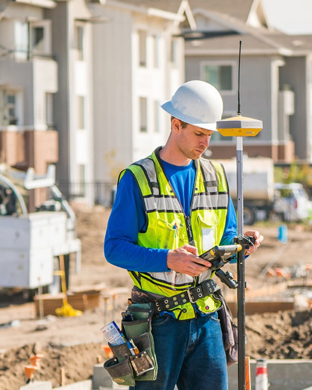
Modern survey-grade GPS equipment can do considerably more than simply tell you where you are.
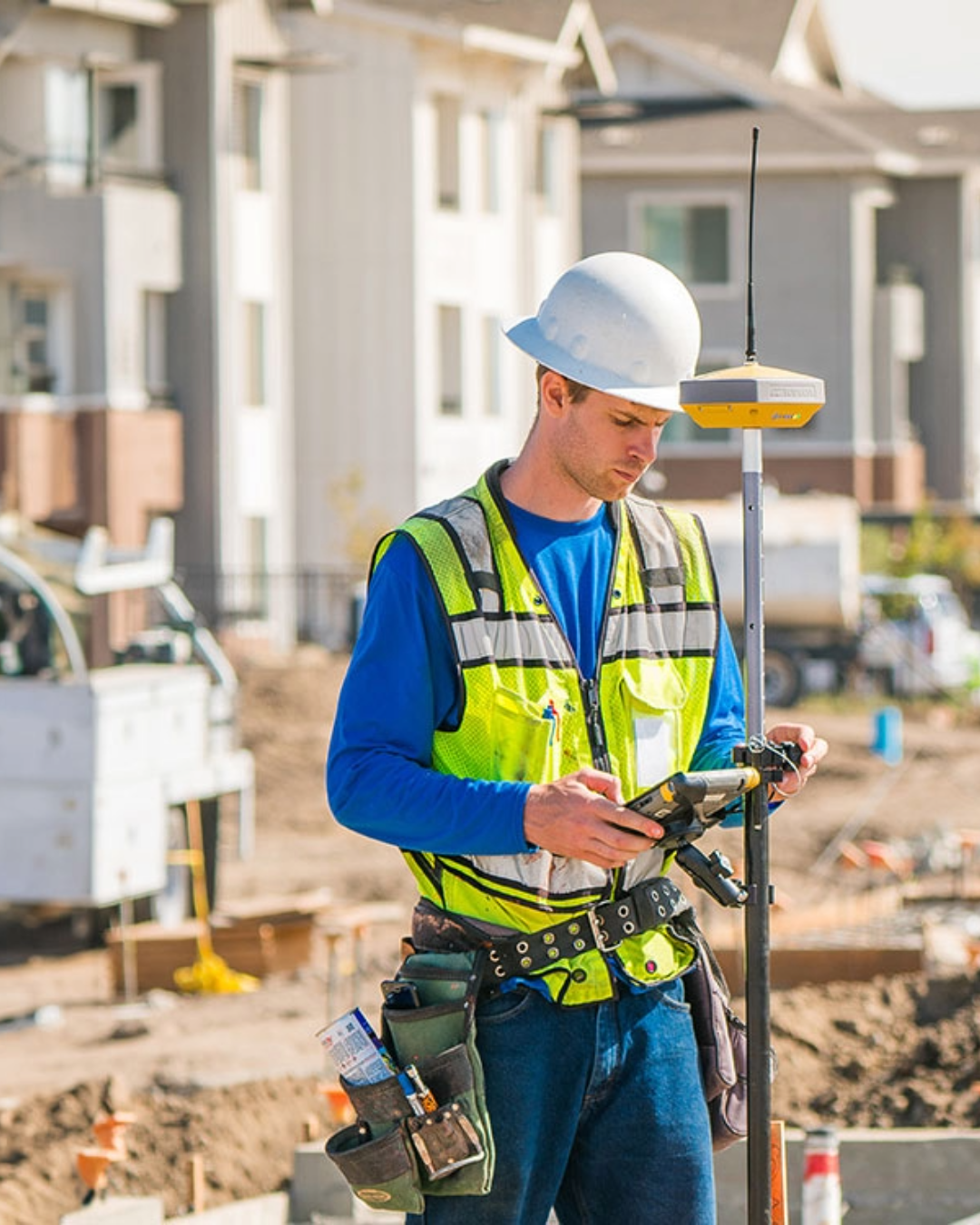
On construction and surveying projects, GNSS receivers can be used for tasks including site setting out, surveying points, checking grades, calculating material volumes and recording positions for as-built information.
There is an important distinction, though. When contractors talk about a “GPS rover” or “GPS surveying equipment”, the equipment they are normally referring to is a GNSS receiver. “GPS” stands for Global Positioning System, which is a specific satellite navigation system owned and operated by the United States. Today’s GNSS receivers can use signals from multiple satellite constellations rather than GPS alone and, for precision work, are used with correction data such as RTK or Network RTK.
So, what can you use GPS or GNSS equipment for on site?
This article is intended as general guidance.
It has been prepared using information from Topcon Positioning Systems technical documentation and product resources, together with general surveying and construction practice.
The suitability and performance of GNSS equipment will depend on factors including site conditions, project tolerances, survey control, correction services, equipment configuration and operator methodology.
Always refer to the relevant manufacturer documentation and project requirements when selecting or using surveying equipment.
 Can I use GPS for setting out?
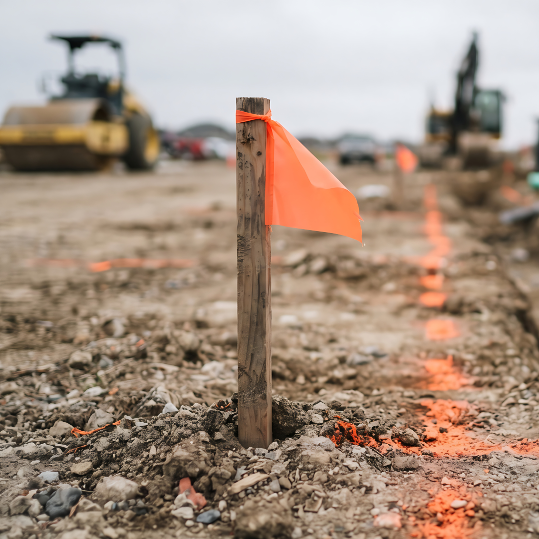 Yes. Construction setting out is one of the established applications for survey-grade GNSS.
Topcon lists construction site layout and stakeout among the applications for its GNSS positioning equipment.
A rover can guide the operator towards coordinates contained within the project data, allowing points to be located and marked on the ground.
This can be particularly useful on open civil engineering and construction sites where there is good visibility of the sky. Typical applications can include locating points associated with earthworks, roads, drainage, site infrastructure and other external works.
However, GNSS is not automatically the best instrument for every setting-out task.
Satellite positioning relies on receiving suitable GNSS signals. Buildings, structures, trees and other obstructions can make some locations more challenging.
Projects requiring very tight tolerances, or work immediately beside or inside structures, may therefore be better suited to a total station or a combined surveying workflow.
Topcon supports this combined approach through its Hybrid Positioning concept, which brings GNSS and robotic total station technology together rather than treating them as competing solutions.
Useful for: external site layout, civil engineering works and open construction sites.
Consider another method when: working indoors, very close to structures or where the required tolerance and site conditions make optical measurement more appropriate.
Can I use GPS for a topographical survey?
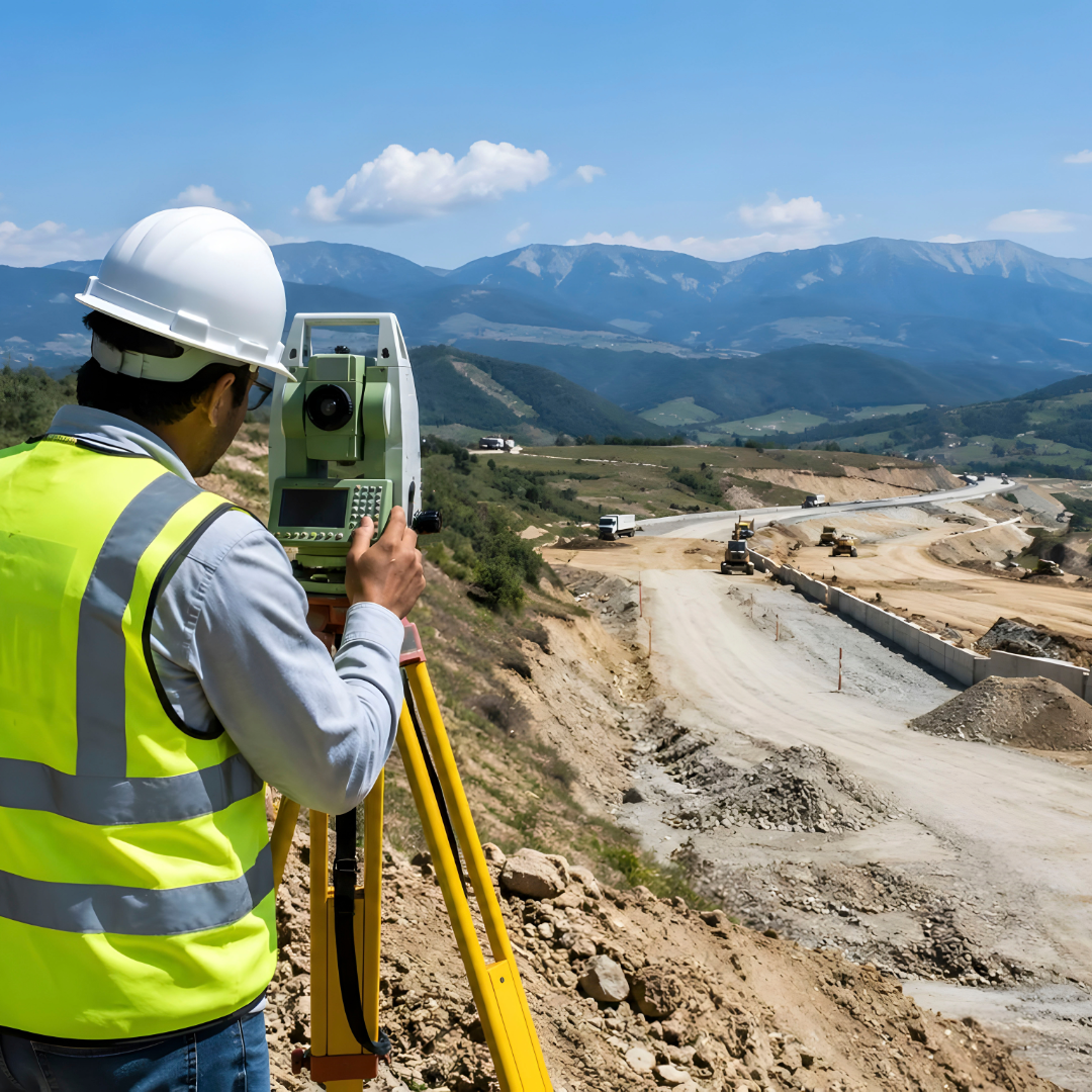 Yes. Survey-grade GNSS is widely used for field surveying and collecting coordinate data.
A GNSS rover can be used to record points across a site and build up information about existing ground, features and levels.
Topcon positions GNSS receivers for field surveying applications, while its HiPer XR technical documentation also confirms support for collecting GNSS observations for positioning and survey workflows.
That makes GNSS particularly productive when a survey involves covering a large, relatively open area.
It does not mean that every point can necessarily be measured effectively using GNSS alone.
Features underneath dense tree cover, directly beside buildings or in locations with restricted satellite visibility can require a different measurement method.
For many surveyors, the question is therefore not simply “GNSS or total station?” but which technology is best for each part of the site.
Can I use GPS to check levels?
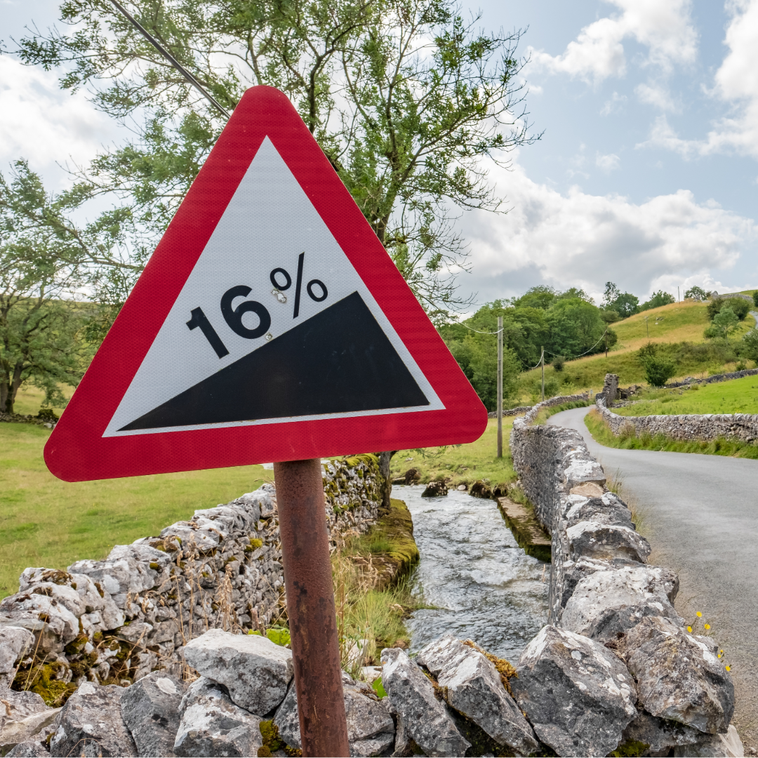 GNSS can be used for elevation and grade-checking applications, provided the survey has been configured correctly.
Topcon lists grade checking among the applications for its GNSS positioning equipment.
This allows site teams to compare measured positions against design information and identify whether ground or construction work is high, low or approaching the required level.
There is an important technical consideration here: the height reported directly by a GNSS receiver is not necessarily the same type of height shown on a construction drawing or expected as a site level.
The correct coordinate system, height model, project localisation and site control all matter.
A receiver showing a precise position does not remove the need to ensure that the project has been configured against the correct reference information.
In other words, GNSS can be an extremely useful grade-checking tool, but the underlying survey setup matters just as much as the receiver itself.
Can I use GPS to calculate cut and fill or material volumes?
 Yes. Material volume calculations are another established use of survey-grade GNSS.
A rover can collect points across a stockpile, excavation or ground surface. Survey or construction software can then use the measured surface information to calculate volumes or compare existing ground against a design surface.
Typical applications include:
- Stockpile surveys
- Earthworks progress measurement
- Cut-and-fill checks
- Excavation measurement
- Material quantity calculations
The quality of the result still depends on the surveying method.
Collecting too few points, missing significant changes in the surface or using incorrect project information can affect the volume calculation even when individual GNSS measurements are accurate.
The receiver collects the position data; a good survey methodology determines how representative that data is of the surface being measured.
Can I use GPS for as-built surveys?
 Yes, where the features being recorded are suitable for GNSS measurement.
Topcon identifies as-built reporting as one of the applications supported by high-accuracy GNSS positioning within construction workflows.
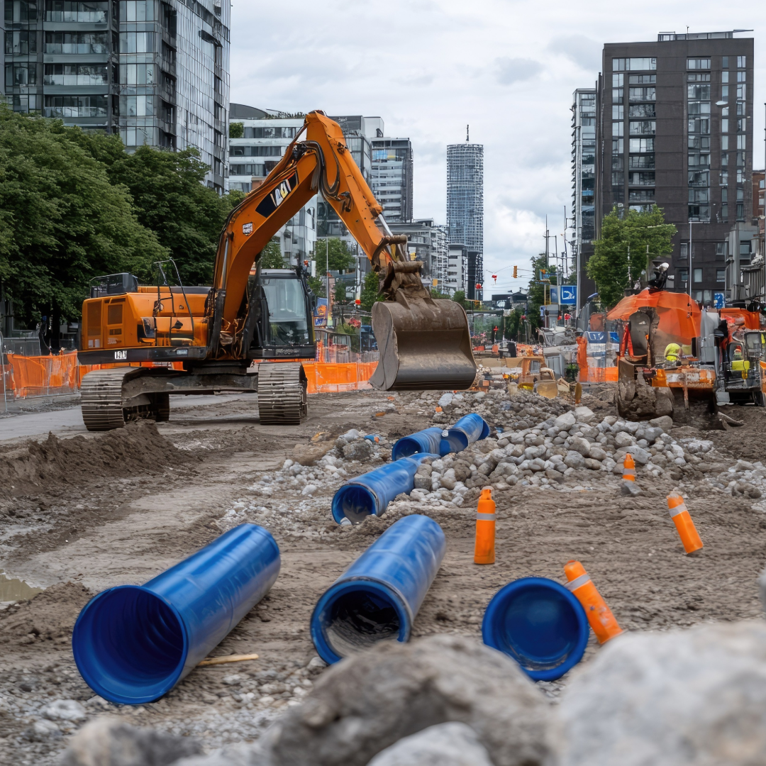
A rover can record the coordinates of completed features so that their installed position can be compared with the design or retained as part of the project record.
This can be useful for external infrastructure and civil engineering works where the relevant feature can be safely and accurately observed with the GNSS pole.
Again, site conditions matter.
GNSS is not necessarily the appropriate method for every as-built measurement, particularly inside buildings or where satellite visibility is restricted.
Can I use GPS for utility mapping?
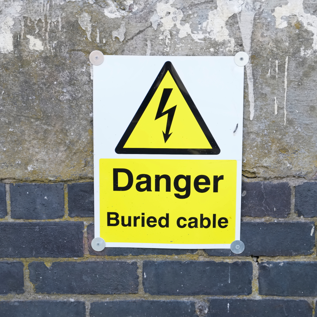 GNSS can be used to record the geographical position of utility information, but it does not by itself locate a buried utility.
This is an important distinction.
Topcon positions GNSS technology for mapping and positioning applications, and GNSS can therefore form part of a utility mapping workflow by recording coordinates associated with detected, exposed or installed assets.
But a GNSS receiver is a positioning instrument.
It should not be confused with equipment designed to detect underground pipes and cables.
For example, a utility may first be identified using an appropriate detection or survey method and its position then recorded using GNSS for mapping or asset-management purposes.
Can I use GPS for boundary surveys?
 GNSS is used within professional boundary and cadastral surveying.
Topcon includes property boundaries and cadastral projects among the applications for its GNSS receivers.
However, measuring a coordinate and legally determining a boundary are not the same thing.
Boundary work may involve existing survey control, title information, historical evidence and applicable professional or legal requirements in addition to physical measurements.
The GNSS receiver is therefore a measurement tool within the surveying process rather than a substitute for the professional interpretation required for boundary determination.
Can I use GPS for machine control?
 Yes. High-accuracy GNSS is widely used within construction machine-control workflows.
Topcon uses GNSS positioning across earthmoving, machine control and other construction applications.
Rather than an operator repeatedly relying on conventional stakes or manually checking every part of a surface, compatible machine-control systems can use positioning information together with a digital model to help determine the machine’s position relative to the design.
The exact equipment, correction service and configuration required will depend on the machine-control system and application.
Can I use GPS without setting up my own base station?
 Potentially, yes.
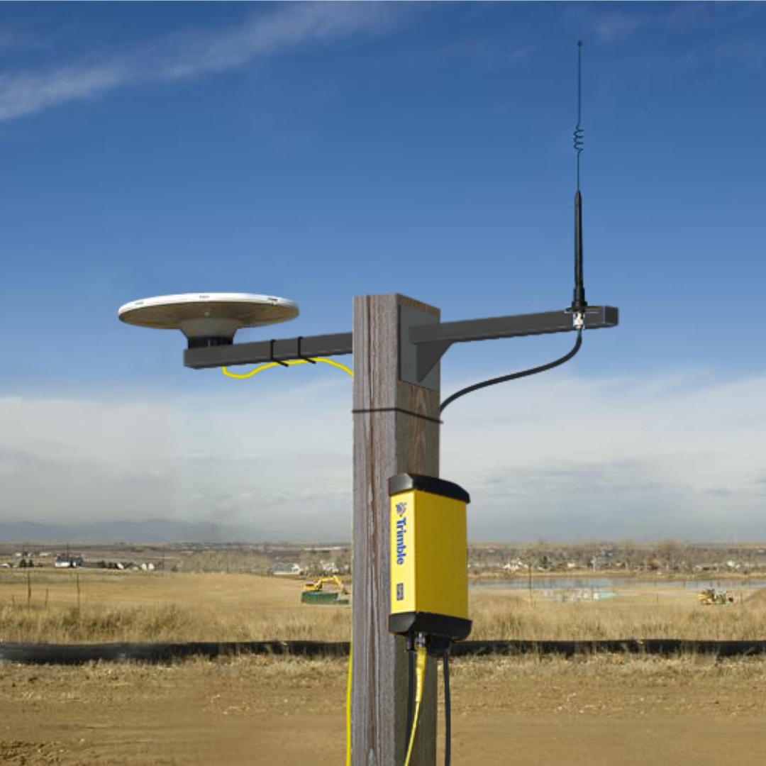
RTK positioning traditionally uses a known base station to generate correction information for the rover.
Network RTK services can provide another approach by delivering correction data from a network of reference stations.
TopNET Live is Topcon’s GNSS correction service for surveying and construction applications.
Using a suitable Network RTK service can remove the need to establish an individual base station for certain projects within the service area.
Whether a network service or your own base-and-rover arrangement is the better choice depends on factors including:
- Service coverage
- Mobile communications
- Project location
- Equipment compatibility
- Site duration
- The way the surveying team intends to work
This is an area worth covering in more detail in a separate article.
Can GPS work underneath trees or beside buildings?
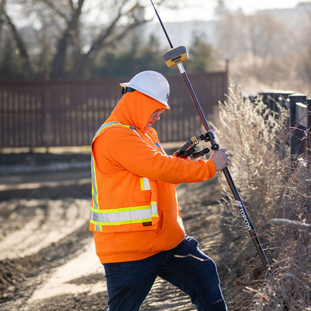 Sometimes, but these are more difficult environments for satellite positioning.
A GNSS receiver needs usable signals from satellites to calculate its position.
Obstructions can reduce the number and geometry of satellites available, while reflected signals can introduce another problem known as multipath.
Topcon’s HiPer XR troubleshooting documentation identifies poor satellite geometry as one possible reason an RTK solution may not be obtained and advises carrying out measurements where satellite visibility is better.
This is why a receiver that performs well in an open field may behave differently when used next to a tall structure or underneath substantial tree cover.
Modern multi-constellation receivers can track signals from several GNSS systems, but no receiver can completely remove the basic requirement for suitable satellite visibility.
Can I use GPS indoors?
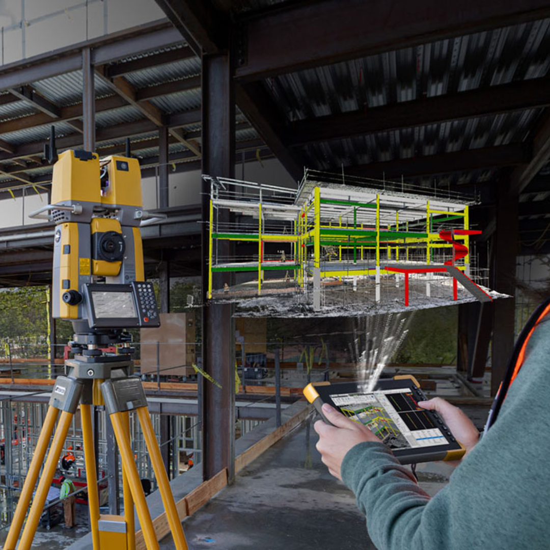 GNSS is generally not the primary positioning method for indoor surveying or setting out.
Satellite signals need to reach the receiver, and buildings severely obstruct them.
For indoor construction layout, or locations where satellite positioning is unavailable, technologies such as robotic total stations may be more appropriate.
Topcon’s own positioning range reflects this distinction.
GNSS receivers are offered alongside optical instruments, scanners and other measurement technologies because different site conditions require different solutions.
How accurate is GPS for construction and surveying?
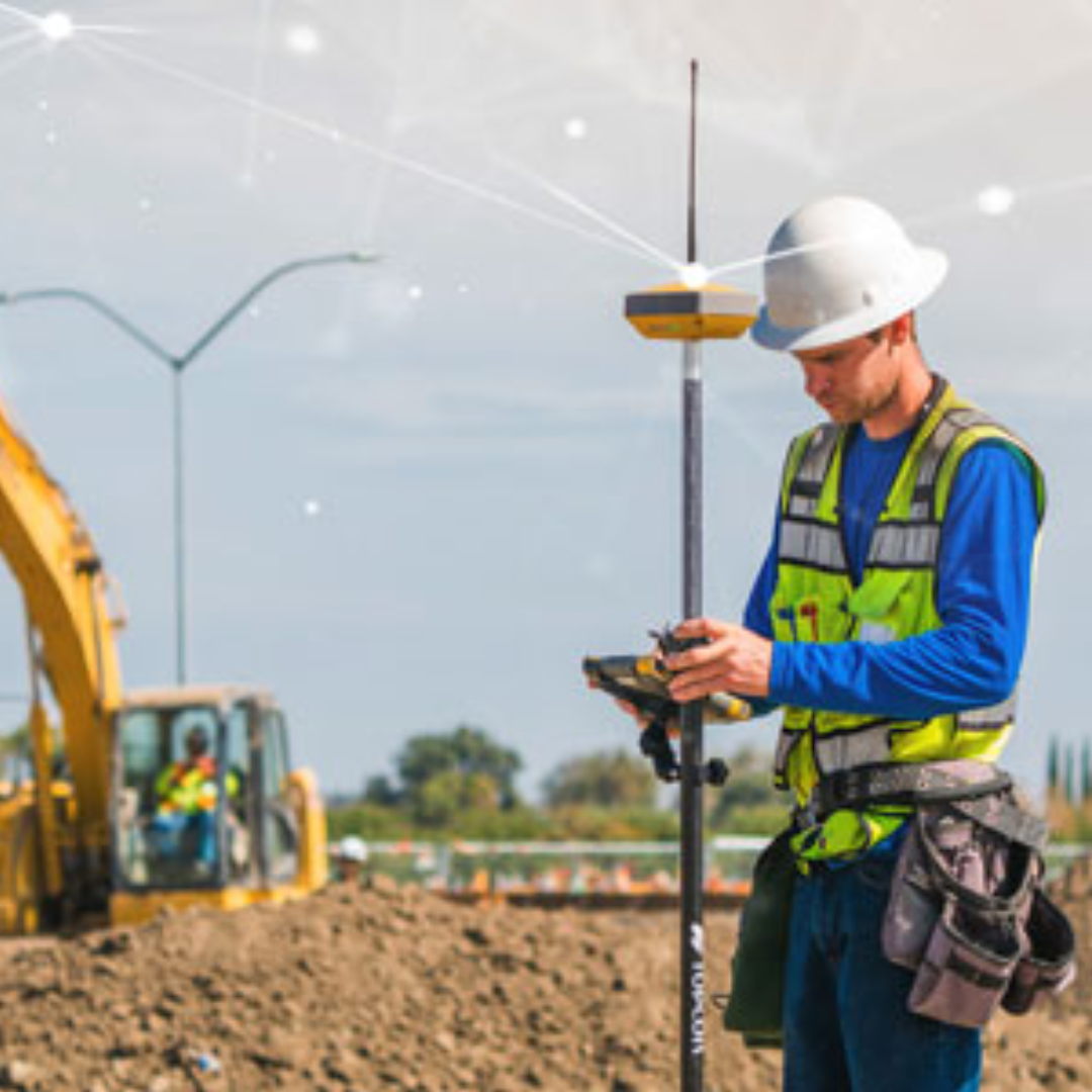 This is where the difference between everyday GPS and professional GNSS becomes particularly important.
The location displayed by a phone or vehicle navigation system should not be treated as equivalent to a survey-grade RTK GNSS measurement.
Professional receivers can use correction information to compensate for sources of positioning error.
Topcon explains that GNSS correction services are designed to improve positioning for high-accuracy surveying and construction applications.
However, the achievable result is not determined by one specification alone.
Factors include:
- Satellite visibility
- Correction availability
- Coordinate configuration
- Survey control
- Measurement procedure
- Antenna setup
- Surrounding structures and vegetation
- The quality of the positioning solution
For that reason, it is better to think in terms of whether a GNSS setup is suitable for a specific job rather than assuming that all “GPS” equipment provides the same accuracy.
So, what can you use survey-grade GPS for?
| Application | Can GNSS be used? | Important consideration |
|---|---|---|
| Construction setting out | Yes | Best suited to locations with suitable satellite visibility and an appropriate survey setup |
| Topographical surveying | Yes | Obstructed features may need an alternative measurement method |
| Grade checking | Yes | Correct project heights, control and coordinate configuration are essential |
| Stockpile and volume calculations | Yes | The surface needs to be surveyed with sufficient detail |
| As-built surveys | Yes | Depends on the accessibility of the feature and satellite visibility |
| Utility mapping | Yes, for positioning | GNSS records location; it does not itself detect buried services |
| Boundary surveys | Yes, as a survey tool | Boundary determination involves more than simply measuring coordinates |
| Machine control | Yes | Requires compatible hardware, software and positioning infrastructure |
| Indoor setting out | Generally no | An optical instrument such as a total station is normally more appropriate |
GPS, GNSS and RTK: why the terminology matters
If you have reached this article by searching for “GPS surveying equipment”, you are certainly not alone.
GPS is one specific satellite navigation system, which is owned and operated by the United States. Other satellite constellations are available, such as Glonass (Russian), Galileo (EU) and BeiDou (Chinese), and visibility of them all gives a much more robust connection.
Modern professional survey receivers are generally GNSS receivers, meaning they can work with multiple satellite constellations.
RTK is then one of the techniques used to improve the precision of the resulting position using correction information.
You may also come across terms including:
- Fixed
- Float
- NTRIP
- Network RTK
- PDOP
- Multipath
- Base station
- Rover
- Mountpoint
GPS, GNSS and RTK Explained: Surveying Terminology in Plain English
Frequently Asked Questions
Is a GPS rover the same as a GNSS rover?
GPS is one satellite constellation, whereas GNSS is the wider term covering satellite navigation systems including GPS and other constellations.
Professional surveying receivers are therefore normally more accurately described as GNSS receivers, although “GPS rover” remains a commonly used term.
Do I need RTK to use a GNSS rover?
Not for every GNSS application, but high-accuracy real-time surveying and construction work commonly uses RTK or Network RTK corrections.
GNSS data can also be recorded for other workflows, including post-processing, depending on the receiver and application.
Can one GNSS rover work without a base station?
A Network RTK correction service can allow a compatible rover to receive corrections without establishing your own local base station, subject to service coverage, communications and equipment compatibility.
Can GPS be used for setting out foundations?
Survey-grade GNSS can be used for construction layout and stakeout, but whether it is the appropriate method depends on the required tolerance, project control and satellite conditions.
Work very close to structures or requiring particular tolerances may favour a total station or combined approach.
Does a GNSS receiver work anywhere?
No.
GNSS requires usable satellite signals.
Buildings, heavy tree cover and other obstructions can reduce performance, and some environments are better suited to optical surveying equipment.
Further resources
- Topcon GNSS Bases and Rovers – Topcon overview of GNSS equipment and positioning applications.
- Topcon HiPer XR Technical Documentation – technical documentation covering the receiver, operation and troubleshooting.
- Topcon GNSS Correction Services / TopNET Live – information on Topcon correction services for surveying and construction.