

 If you are new to survey-grade satellite positioning, the terminology can make the equipment sound considerably more complicated than it needs to be.
GPS, GNSS, RTK, Network RTK, Fixed, Float, PDOP, NTRIP, caster, multipath and mountpoints are all terms you may encounter when using a survey rover or configuring a correction service.
Some describe the satellites being used. Others describe how accurately the receiver has calculated its position, how correction information reaches the rover or why a normally reliable system is struggling in a particular location.
This guide translates the most common GNSS surveying terminology into practical language and explains why each term matters when you are working on site.
This article is intended as general guidance.
It has been prepared using information from Topcon Positioning Systems technical documentation and product resources, together with guidance from recognised surveying and GNSS organisations.
The suitability and performance of GNSS equipment will depend on factors including site conditions, project tolerances, survey control, correction services, equipment configuration and operator methodology.
Always refer to the relevant manufacturer documentation and project requirements when selecting, configuring or using surveying equipment.
 GPS vs GNSS: what is the difference?
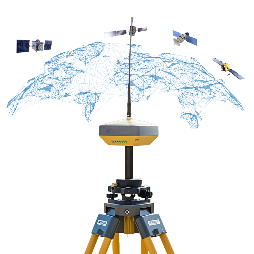
GPS
GPS stands for Global Positioning System.
GPS is the satellite navigation system operated by the United States. It is also the term many people use more generally when talking about satellite positioning.
That is why phrases such as “survey GPS”, “GPS rover” and “GPS setting out equipment” are still commonly used.
Technically, however, most modern professional surveying receivers are better described as GNSS receivers rather than GPS-only receivers.
GNSS
GNSS stands for Global Navigation Satellite System.
GNSS is the broader term covering multiple satellite navigation systems rather than GPS alone.
These constellations include:
- GPS – United States
- Galileo – European Union
- GLONASS – Russia
- BeiDou – China
- QZSS – Japan
- Other regional satellite navigation and augmentation systems
For example, Topcon’s HiPer XR specification lists support for signals from GPS, GLONASS, Galileo, BeiDou, QZSS and NavIC, as well as Satellite Based Augmentation Systems.
Being able to observe multiple constellations gives a modern receiver access to considerably more satellite information than a GPS-only receiver.
In simple terms: GPS is one satellite system; GNSS is the wider family of satellite positioning systems.
What is a GNSS rover?
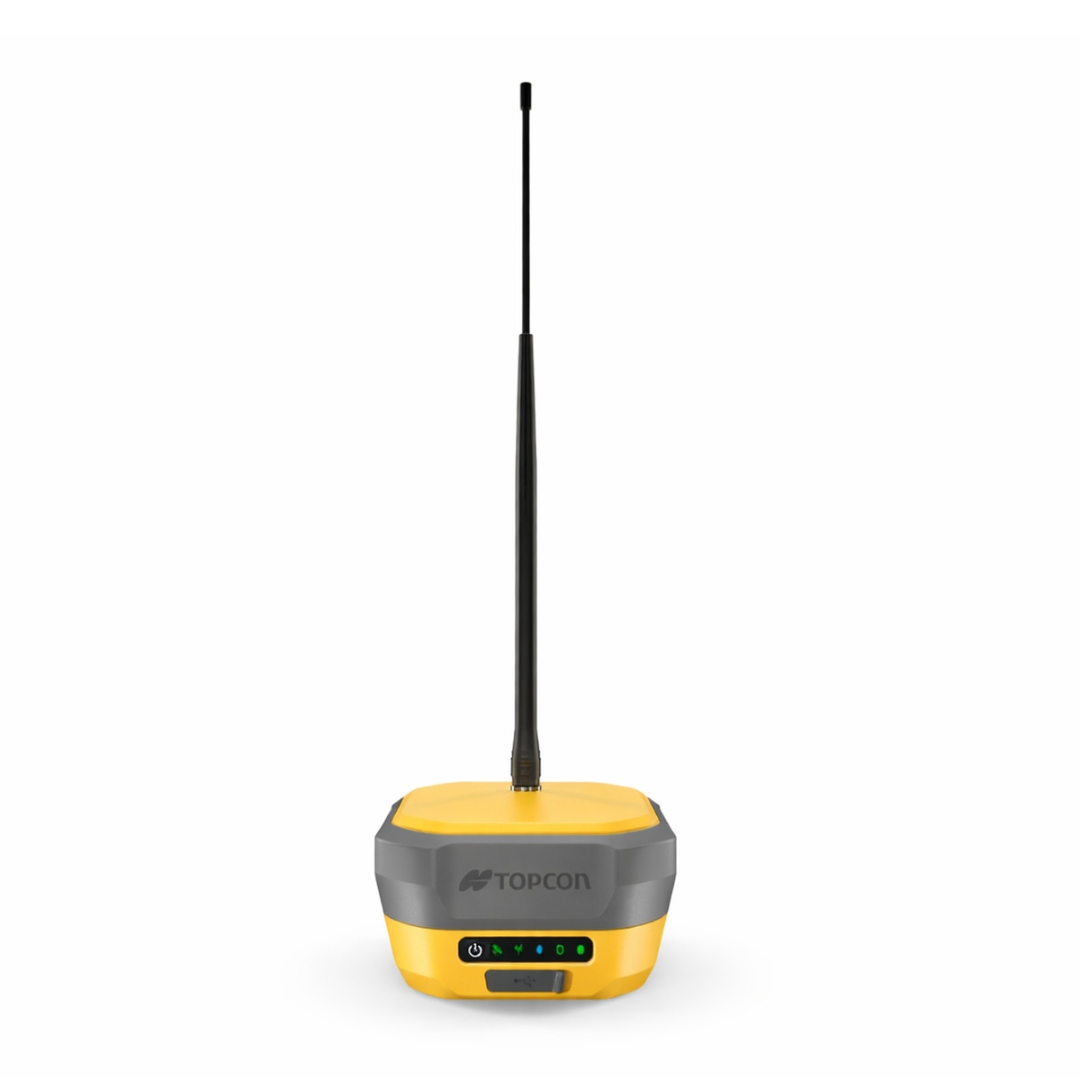
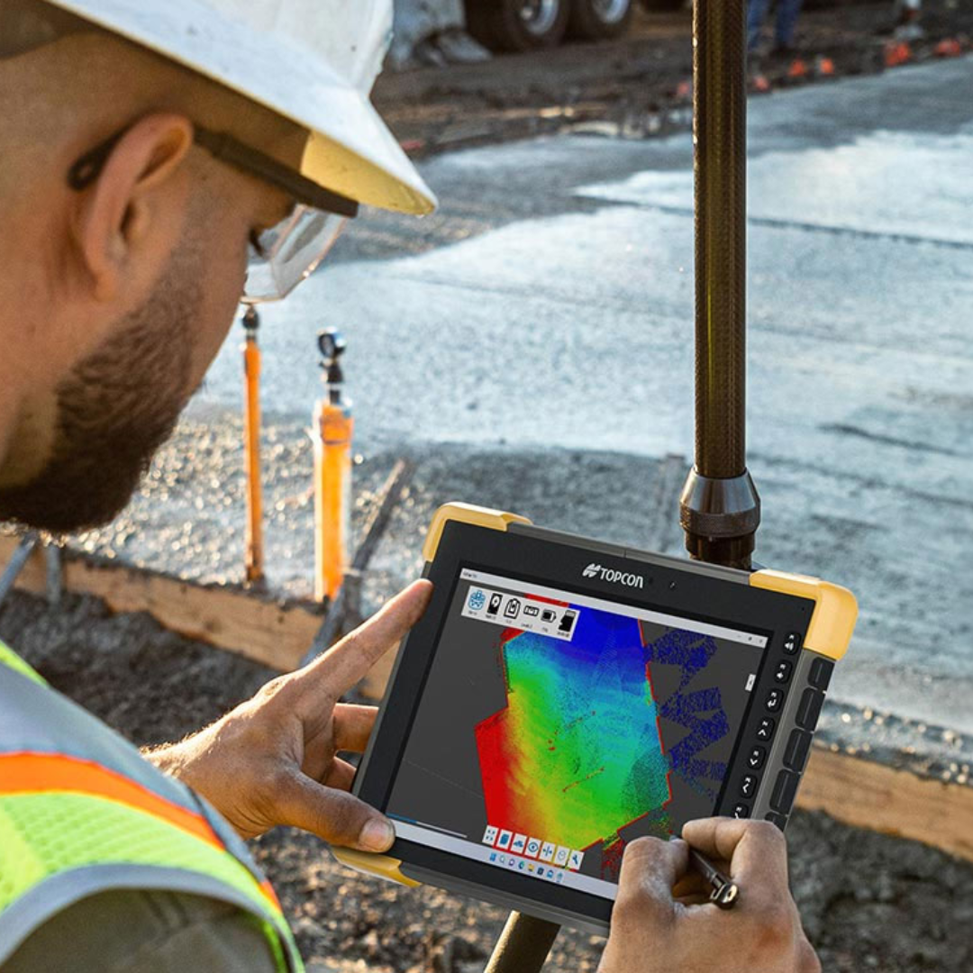
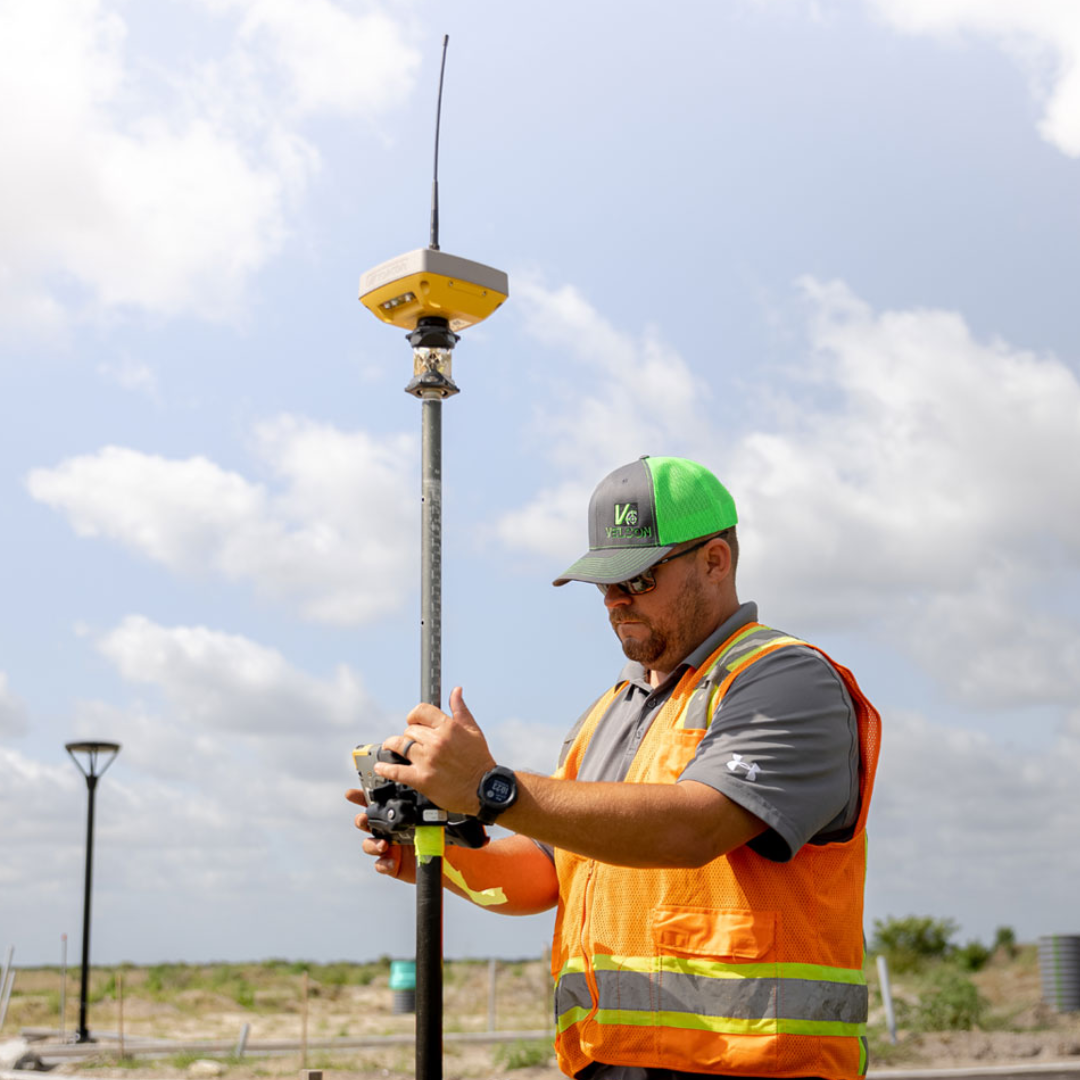
A rover is the GNSS receiver that moves around the site with the operator.
It is normally mounted on a survey pole and connected to field software running on a controller or tablet.
The rover calculates its position from satellite observations and, for centimetre-level accuracy real-time work, normally receives correction information from either a local base station or a GNSS correction service.
You then use that calculated position to perform jobs such as surveying points, setting out coordinates, checking grades or recording as-built information.
Topcon’s HiPer XR, for example, can be configured as either an RTK rover or an RTK base station.
What is a GNSS base station?
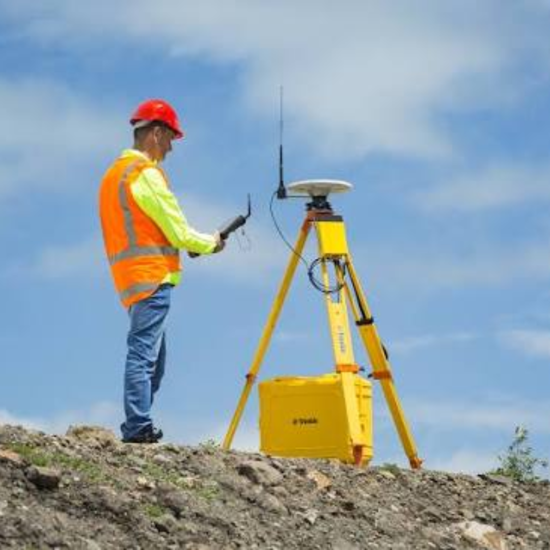
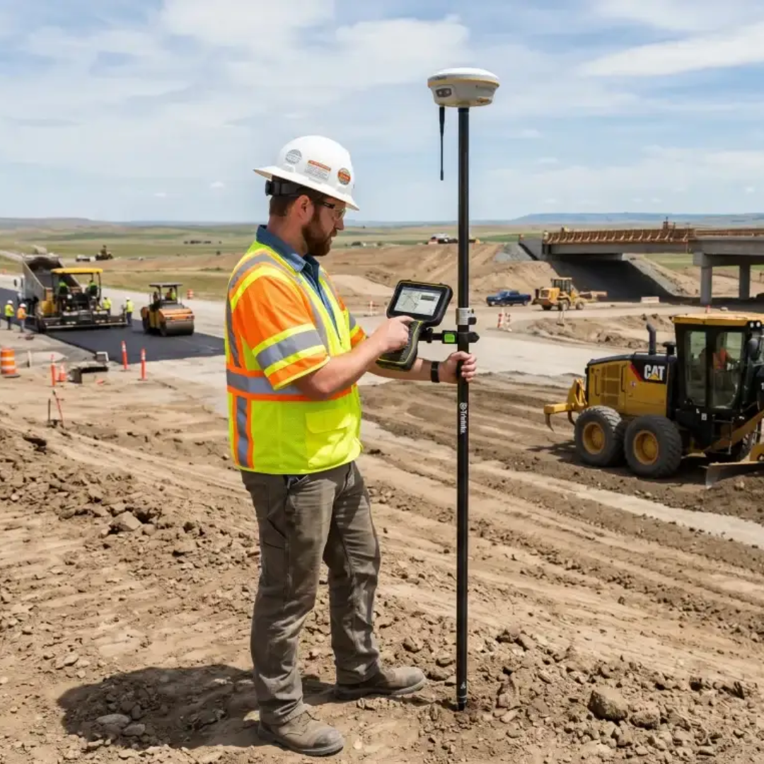
A base station is a GNSS receiver operating from a known, fixed position.
Topcon describes an RTK base station as a fixed GNSS receiver that monitors satellites, calculates differential corrections and sends those corrections to the rover.
The important difference is therefore:
- Base: stays at a known position and generates correction information
- Rover: moves around the site and uses that correction information to calculate its position more accurately
A base station needs to be configured correctly and located where it has good satellite visibility.
An incorrect base position can result in correspondingly incorrect rover coordinates.
What are GNSS corrections?
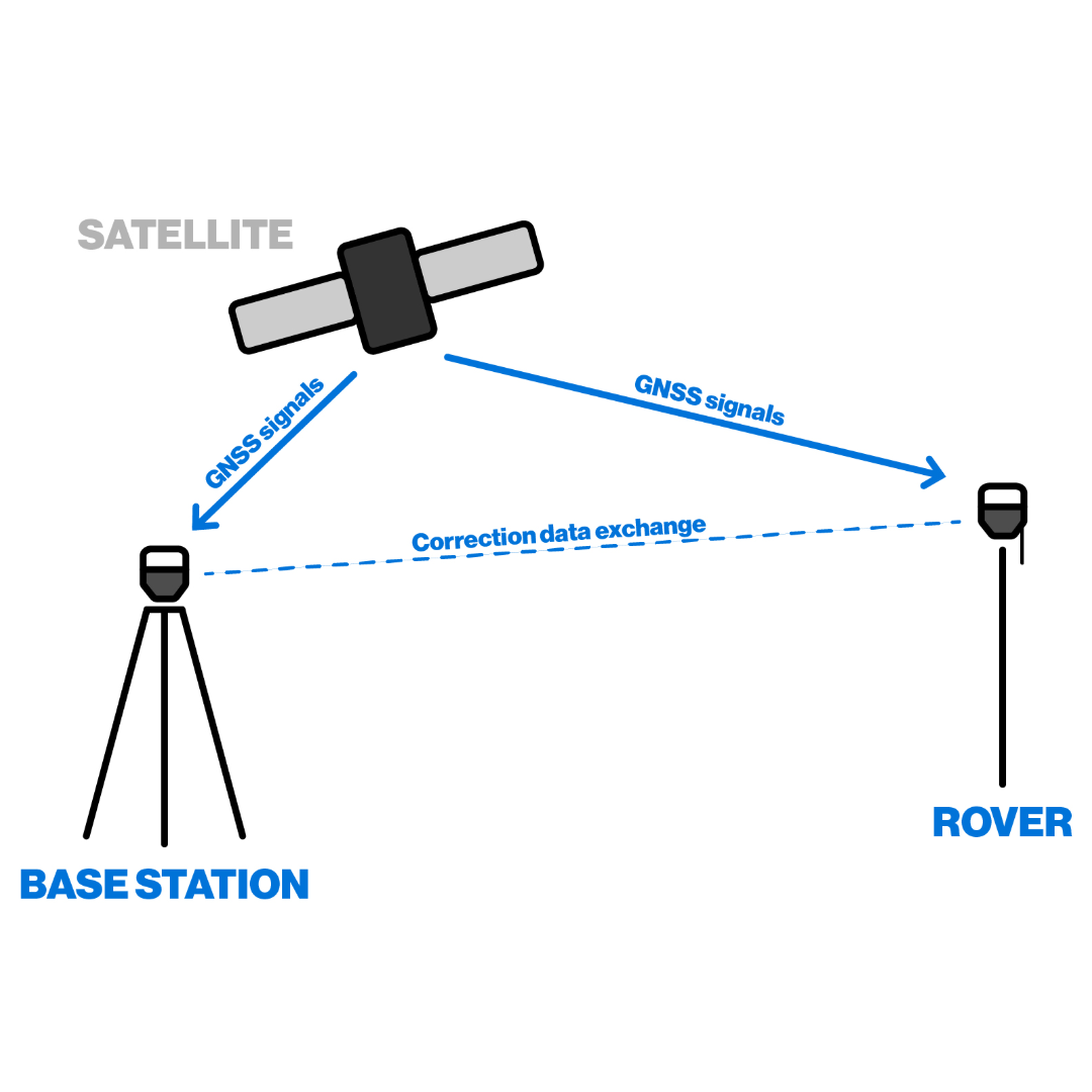
A standalone GNSS receiver is affected by several sources of positioning error.
Topcon identifies factors associated with satellite constellations, receiver hardware and atmospheric conditions among the errors that high-accuracy positioning systems need to compensate for.
Corrections provide the rover with additional information that allows many of these errors to be accounted for.
The correction information might come from:
- A base station you have established on the site
- A nearby permanent reference station
- A network of reference stations
- Another correction service, depending on the positioning method being used
This is one of the major differences between everyday navigation GPS and the high-accuracy GNSS workflows used for professional surveying and construction.
What does RTK mean?
RTK stands for Real-Time Kinematic.
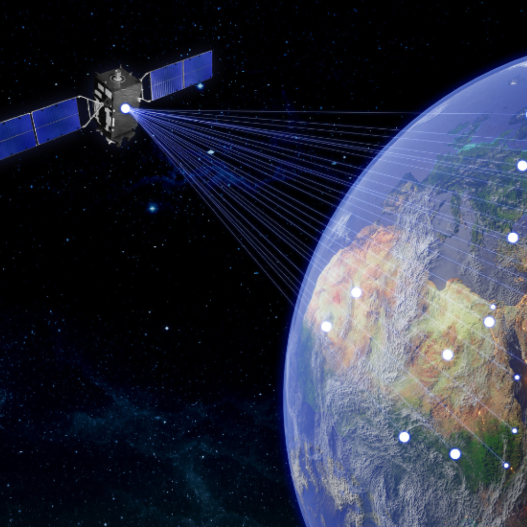
RTK is a positioning technique used to improve the precision of GNSS measurements by providing correction information to the rover in real time.
With a traditional site-based RTK setup, a base receiver occupies a known position while the rover moves around the site.
The base and rover observe satellite information and the correction messages generated from the base are transmitted to the rover.
The important words are real time: the operator receives an improved position while carrying out the work rather than having to process all of the observations afterwards.
What is Network RTK?
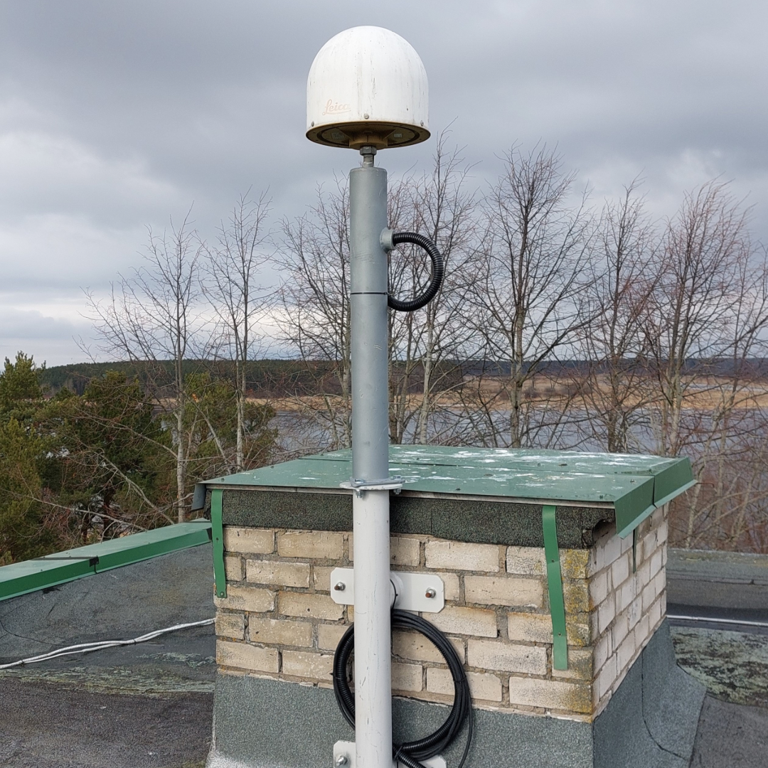
Network RTK uses a network of permanent reference stations rather than relying solely on one local site base.
The correction service uses information from multiple reference stations across an area to generate corrections for the rover.
Topcon distinguishes between Single Base RTK, where corrections originate from a particular or nearby reference station, and Network RTK, where information from multiple stations within a network contributes to the correction solution.
This is the principle behind services such as TopNET Live Realpoint.
For suitable projects and locations, Network RTK can mean that an operator does not have to establish and supervise their own base station each time they work.
What is TopNET Live?

TopNET Live is Topcon’s GNSS correction service.
Topcon operates networks of reference stations and uses the observations from those stations to provide correction information to compatible GNSS receivers.
Its correction services are used for applications including surveying, construction, GIS, mapping and machine control.
Depending on the particular TopNET Live service and equipment configuration, corrections can be delivered using technologies including internet-based NTRIP and satellite-based services.
TopNET Live should therefore not be confused with the GNSS receiver itself.
The receiver performs the positioning; TopNET Live is one potential source of the correction information used by that receiver.
What does NTRIP mean?

NTRIP is a method used to deliver GNSS correction data over the internet.
If a rover is using Network RTK, NTRIP is commonly the route by which correction information travels from the correction provider to the equipment in the field.
Topcon describes TopNET Live NTRIP corrections as being delivered through an internet connection, typically using a mobile data connection.
In practical terms, a Network RTK setup may therefore involve:
- The GNSS receiver
- A controller or receiver with an internet connection
- The correction provider’s NTRIP details
- A username and password
- The correct correction stream or mountpoint
If the receiver is tracking satellites perfectly but cannot access the NTRIP service, it may not receive the RTK corrections required for the intended solution.
What is an NTRIP caster?
An NTRIP caster is the server or service that distributes GNSS correction data over the internet.
When a rover or controller connects to an NTRIP correction service, it is effectively connecting to a caster.
The caster receives correction data from one or more GNSS reference stations or correction sources and makes those data streams available to users.
The rover or controller then acts as the NTRIP client.
Once connected, the client can normally select the appropriate mountpoint, which is the particular correction stream required for the receiver and workflow.
A simple way to think about it is:
- NTRIP caster: distributes the correction streams
- NTRIP client: connects to the caster and receives corrections
- Mountpoint: the individual correction stream selected from the caster
This terminology often appears in GNSS setup menus.
If you are using a Network RTK service such as TopNET Live, the caster forms part of the infrastructure used to deliver correction information to the rover.
For the operator, the practical requirement is usually to have the correct:
- Caster address
- Port
- Username and password
- Mountpoint
If any of those details are incorrect, the rover may fail to receive the correction stream even if it is otherwise tracking satellites normally.
What is an NTRIP mountpoint?
The term mountpoint can sound more complicated than it is.
Think of a mountpoint as the particular correction data stream you select from an NTRIP caster.
A correction network may make several streams available because different equipment, correction formats, signal combinations or positioning approaches can require different data.
TopNET Live, for example, provides different Network RTK and nearest-base mountpoints and currently recommends MSM-format mountpoints for suitable modern equipment.
That is why choosing a random mountpoint because the rover appears to connect is not necessarily good practice.
The stream needs to be suitable for the receiver, service and intended workflow.
Mountpoint selection is an area where following the current correction provider and equipment manufacturer guidance is important.
What is RTCM?

RTCM is a family of standardised data formats commonly used to communicate GNSS correction information between systems.
You may therefore encounter terms such as RTCM 3, RTCM 3.2 or RTCM MSM when configuring a receiver or choosing a correction stream.
Modern Topcon receivers support a range of RTCM correction formats.
TopNET Live also provides mountpoints using RTCM Multi-Signal Messages, commonly shown as MSM.
For the everyday operator, the key point is not usually to understand the contents of every RTCM message.
It is to make sure the correction format being transmitted is compatible with the receiver and its configuration.
What does Fixed mean on a GNSS rover?

Fixed is the solution status operators normally want to see before carrying out precision RTK work.
GNSS RTK uses carrier-phase measurements, which involve resolving whole-number ambiguities associated with the satellite signals.
When the receiver has successfully resolved those ambiguities, it can report an RTK Fixed solution.
Topcon equipment uses “RTK fixed solution” as a defined GNSS status, distinguishing it from Float and standalone positioning.
A Fixed status does not mean that every possible surveying mistake has disappeared.
Incorrect control, an incorrect base coordinate, an incorrect antenna height or the wrong project configuration can still produce a wrong coordinate even when the GNSS solution itself is Fixed.
In simple terms: Fixed tells you the RTK calculation has reached its high-precision resolved state.
It does not independently prove that the whole survey setup is correct.
What does Float mean on a GNSS rover?
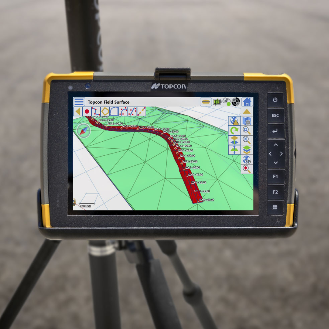
Float means the RTK receiver has not yet fully resolved the carrier-phase ambiguities needed for a Fixed solution.
Topcon equipment distinguishes an RTK Float solution from an RTK Fixed solution.
A rover may remain in Float because of issues including:
- Poor satellite geometry
- Restricted satellite visibility
- Interference or reflected signals
- Problems receiving suitable corrections
- Base and rover configuration differences
- Other communication or positioning issues
If the job requires a reliable RTK Fixed solution, seeing Float should therefore be treated as a prompt to investigate the conditions rather than simply collecting the point and hoping for the best.
What does Standalone or Autonomous mean?
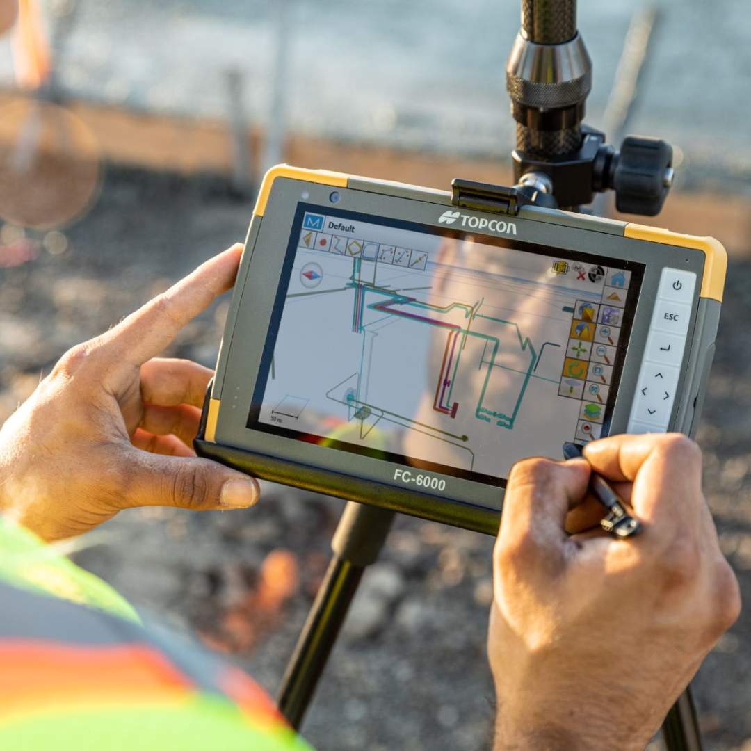
A standalone or autonomous solution generally means the receiver is calculating its position from GNSS observations without the RTK correction solution required for Fixed positioning.
The exact terminology shown depends on the receiver and field software.
Topcon equipment, for example, distinguishes a standalone solution from RTK Float and RTK Fixed statuses.
If you expected to be working in RTK and the receiver is showing standalone positioning, checking whether corrections are actually being received is an obvious place to begin.
What is satellite geometry?

A GNSS receiver does not simply need “lots of satellites”.
Their positions in the sky also matter.
Satellite geometry describes how the satellites being observed are distributed relative to the receiver.
A useful spread of satellites around the sky generally provides stronger geometry than having the available satellites concentrated in similar directions.
This geometric effect contributes to the uncertainty of the calculated position and is commonly expressed using DOP values.
Topcon’s own HiPer XR troubleshooting guidance identifies unsatisfactory satellite geometry and high PDOP as a possible reason for failing to obtain an RTK solution.
What is PDOP?

PDOP stands for Position Dilution of Precision.
It is a numerical indicator of how the geometry of the satellites being used can amplify uncertainty in the position solution.
RICS describes DOP as a unitless value representing the geometric contribution to uncertainty in a GNSS position.
As a general principle, lower PDOP indicates stronger satellite geometry and higher PDOP indicates weaker geometry.
This does not mean PDOP is an accuracy reading in millimetres.
A PDOP of 2 does not mean the receiver is accurate to 2 mm or 2 cm.
Instead, it should be viewed as one indicator of how favourable the satellite arrangement is at that particular time and place.
This distinction matters because an operator can see plenty of satellites on screen while still having relatively poor geometry.
What do GDOP, HDOP and VDOP mean?
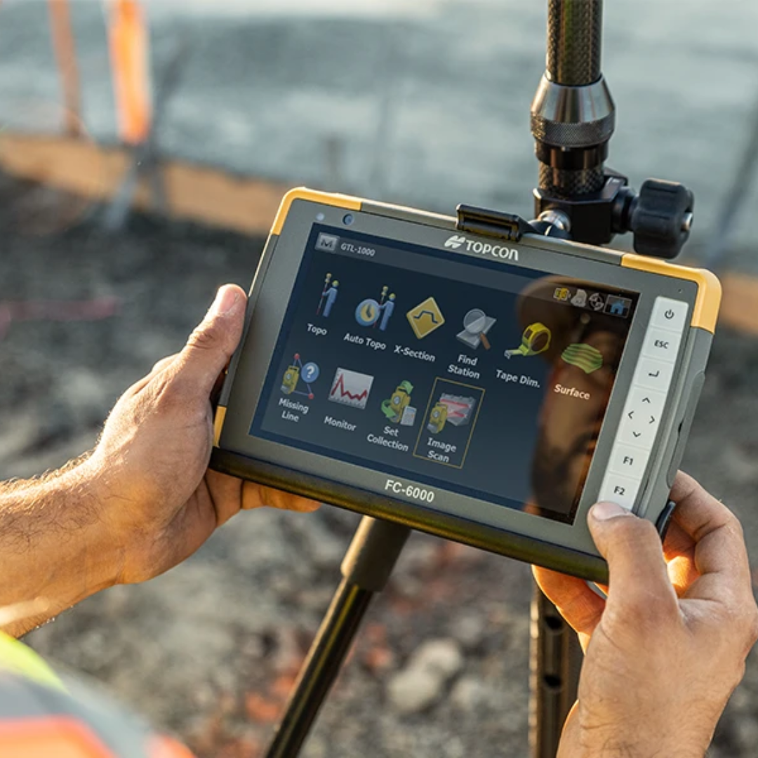
PDOP is part of a wider family of Dilution of Precision values.
- GDOP – Geometric Dilution of Precision: combines positioning and timing geometry
- PDOP – Position Dilution of Precision: relates to three-dimensional position geometry
- HDOP – Horizontal Dilution of Precision: relates specifically to horizontal positioning
- VDOP – Vertical Dilution of Precision: relates specifically to vertical positioning
The field software may show one or more of these depending on the equipment and configuration.
They are quality indicators rather than a replacement for proper survey checks and procedures.
What is multipath?
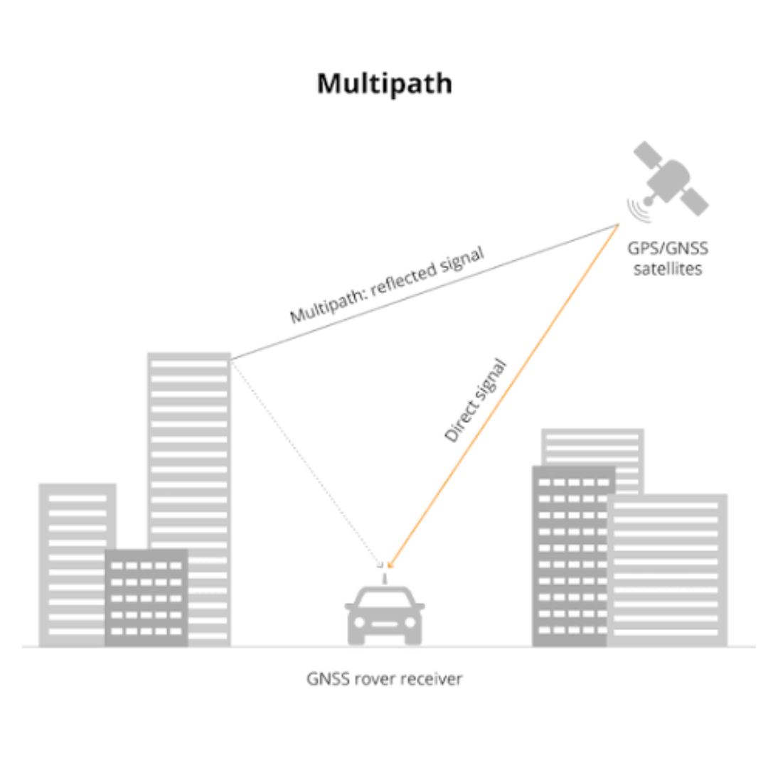
Multipath occurs when a GNSS signal reaches the receiver after being reflected from another surface rather than travelling only by the direct path from satellite to antenna.
Buildings, walls and other reflective objects can contribute to this problem.
RICS describes multipath as a propagation error caused by reflected GNSS signals interfering with the direct signals received by the antenna.
GPS.gov also identifies signals reflected from buildings and walls as one of the common reasons GPS positioning can deteriorate.
This explains why GNSS conditions can become difficult around:
- Tall buildings
- Walls
- Large structures
- Some vehicles and machinery
- Other reflective surfaces
- Locations where the direct view of the sky is already restricted
Modern receivers use technologies designed to help mitigate multipath, but it remains an important environmental factor in GNSS surveying.
What is an elevation mask?
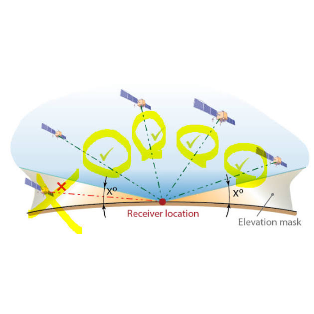
Satellites very low on the horizon can be more affected by obstructions, atmospheric effects and local site conditions.
An elevation mask is a setting used to prevent observations from satellites below a chosen elevation angle from being used in the positioning calculation.
It is another example of why simply enabling or disabling settings without understanding the receiver configuration is not advisable.
Topcon’s HiPer XR troubleshooting documentation refers to the elevation mask when diagnosing high-PDOP and satellite-geometry problems.
What is antenna height?
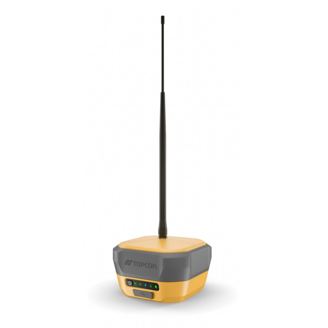
Antenna height is the measured relationship between the GNSS antenna and the survey point on the ground.
The receiver does not directly observe the point at the bottom of your survey pole.
The GNSS measurement relates to the antenna’s phase centre.
Topcon explains that field or post-processing software uses the receiver model, antenna phase-centre information and the measured Antenna Reference Point height to calculate the coordinates of the station marker.
That is why entering the wrong pole or antenna height can produce a wrong survey result even when the receiver itself reports an excellent GNSS solution.
This is particularly important for height measurements.
Fixed does not correct an incorrectly entered antenna height.
What is the Antenna Reference Point or ARP?

ARP stands for Antenna Reference Point.
It is the defined physical reference on the receiver or antenna from which antenna height measurements are made.
Survey software can then apply the appropriate antenna model and phase-centre offsets to determine the position of the ground point being surveyed.
For most day-to-day operators, the important lesson is simple:
Use the correct receiver or antenna model and measure the antenna height using the method specified for the equipment.
What is a coordinate system?
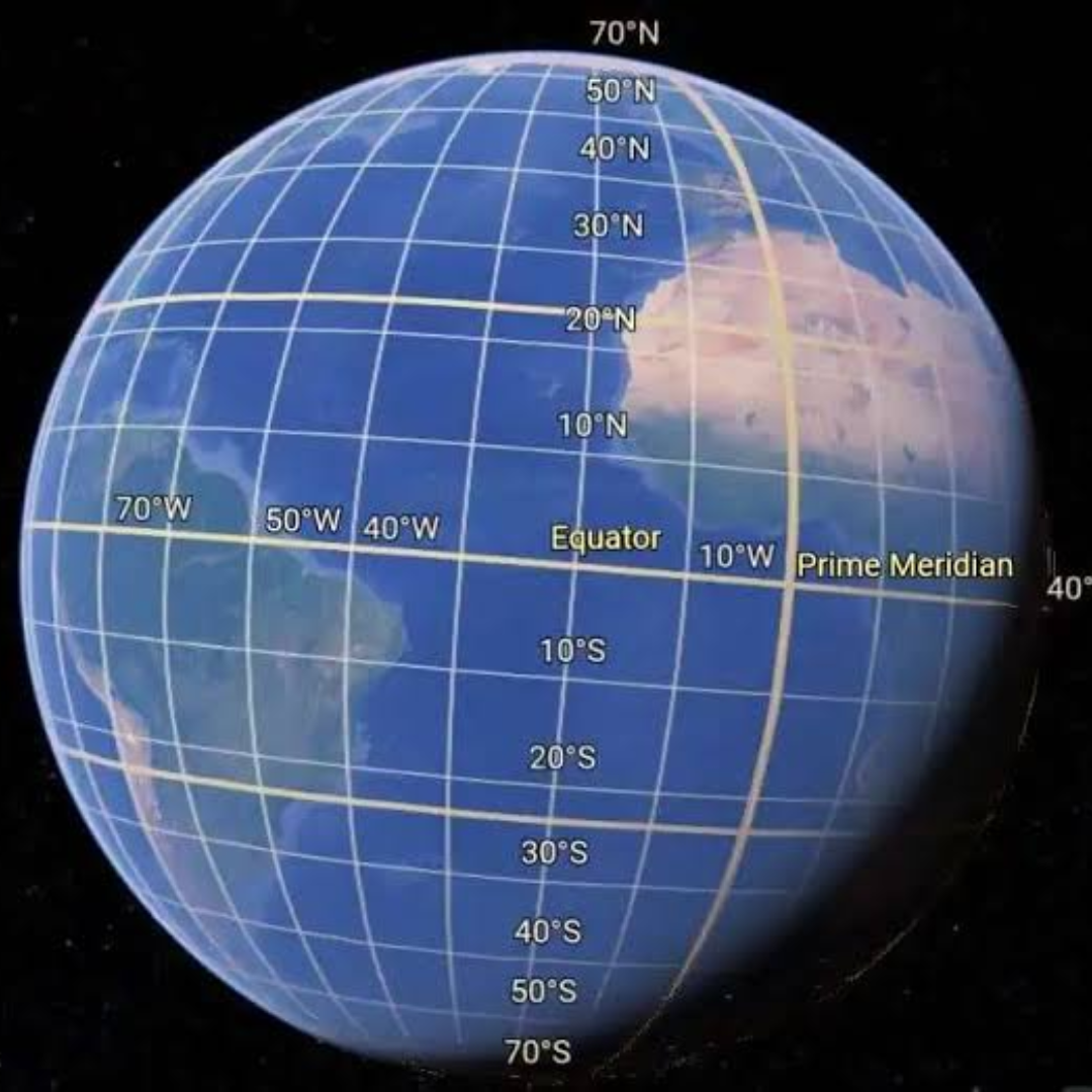
A GNSS receiver initially determines a position within a satellite or geodetic reference framework.
Your project, however, may require coordinates expressed in a national grid, local grid or site-specific coordinate system.
The coordinate system defines how positions are represented for the project.
This is why a GNSS rover can report a technically good GNSS solution while still displaying coordinates that do not match the project if the wrong coordinate configuration has been selected.
Do not confuse solution quality with coordinate-system correctness.
A Fixed solution tells you something about the GNSS calculation.
It does not automatically prove that the project grid, datum, transformation or control setup is correct.
What is a localisation or site calibration?

A localisation or site calibration is used in some survey workflows to relate GNSS-derived coordinates to the coordinate system or control being used on a particular project.
The exact terminology and workflow varies between software packages and projects.
The practical point is that GNSS equipment needs to work within the same reference framework as the design and site control.
If that relationship is wrong, the rover may consistently appear in the wrong place even though it remains Fixed.
What is RINEX?
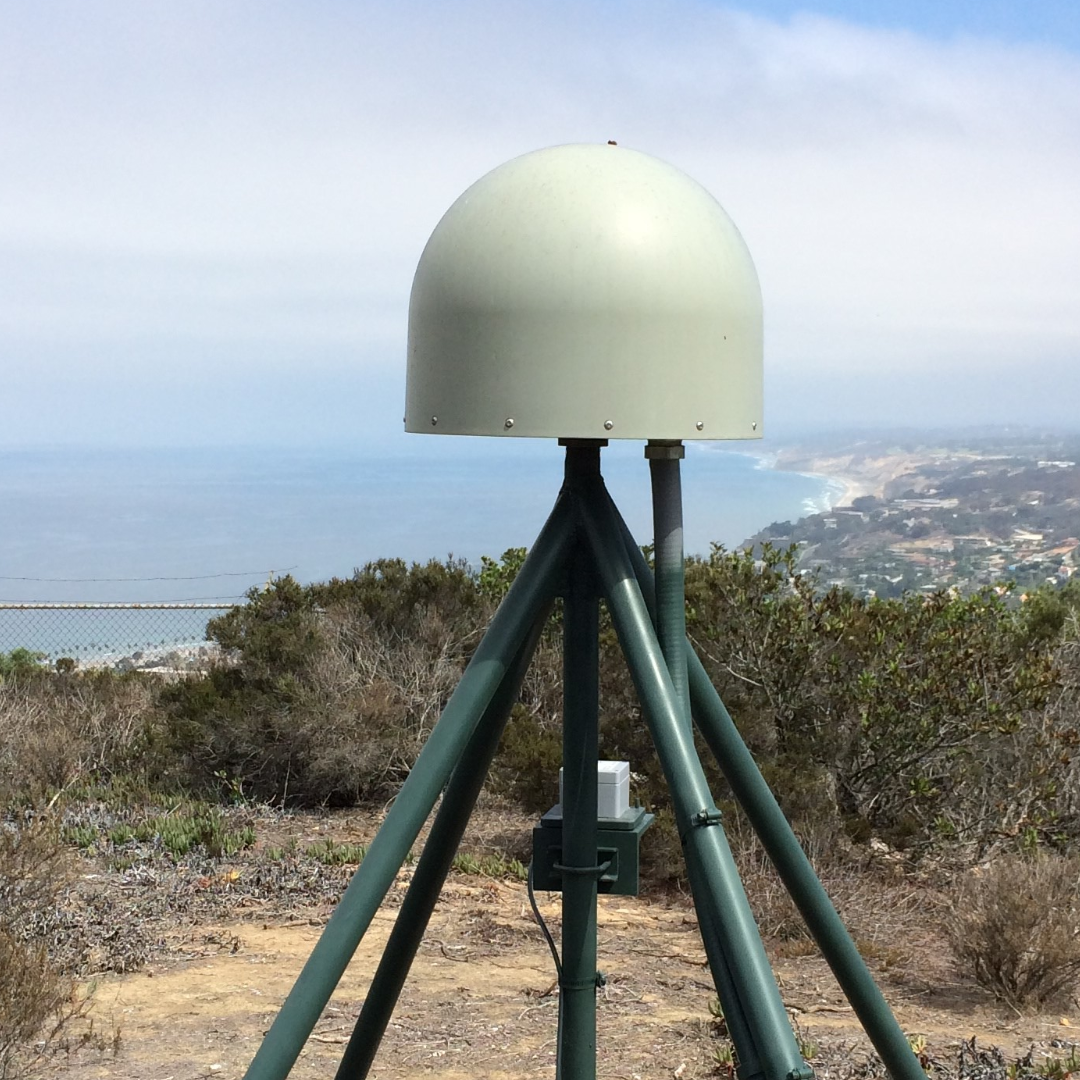
RINEX is a standard format used for exchanging raw GNSS observation data.
You are most likely to encounter the term when dealing with static GNSS observations, reference-station data or post-processing rather than normal day-to-day RTK setting out.
TopNET Live provides access to RINEX data from its networks for post-processing applications, while Topcon receivers such as the HiPer XR can record raw GNSS observations internally.
What does static GNSS mean?
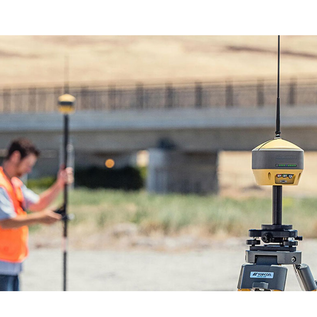
Static surveying involves a GNSS receiver remaining stationary over a point while observations are collected.
The data can then be processed with observations from another receiver or reference network.
This is different from an RTK rover workflow in which the surveyor moves between points and receives a corrected position in real time.
Topcon’s HiPer XR supports raw data recording for static and kinematic post-processing applications.
What does post-processing mean?
Post-processing means calculating or refining the survey result after the GNSS observations have been collected rather than relying solely on a real-time field solution.
Raw observation data from the receiver is combined with other GNSS data using suitable processing software.
RTK and post-processing are therefore different workflows.
One provides a corrected result in the field; the other performs the calculation afterwards.
The GNSS terms worth watching when something goes wrong
| What you see or hear | What it means | Why it matters |
|---|---|---|
| Fixed | The RTK ambiguities have been resolved | This is normally the required RTK solution state for precision work |
| Float | The RTK ambiguities have not been fully resolved | Investigate conditions before relying on the observation for precision work |
| Standalone / Autonomous | The receiver is positioning without the expected RTK solution | Check whether suitable corrections are being received |
| High PDOP | Satellite geometry is relatively weak | Position robustness can deteriorate and RTK fixing may become more difficult |
| Multipath | Satellite signals are being reflected before reaching the antenna | Common around structures and other reflective environments |
| NTRIP disconnected | The internet correction-data connection is unavailable | A Network RTK rover may stop receiving the corrections it requires |
| Caster connection failed | The client cannot connect to the NTRIP caster | Check internet access, caster details, port and login credentials |
| Wrong mountpoint | The selected correction stream may not suit the configuration | Correction format and service selection matter |
| Incorrect antenna height | The pole or antenna measurement has been entered incorrectly | The resulting point coordinate, particularly height, can be wrong even when Fixed |
Fixed does not always mean correct
This is perhaps the most important point in the entire terminology guide.
An RTK Fixed solution tells you that the receiver has successfully resolved the GNSS carrier-phase ambiguities.
It does not automatically confirm that:
- The base coordinates are correct
- The antenna height is correct
- The correct coordinate system is loaded
- The project localisation is correct
- The correct control has been used
- The point has been observed using the correct survey procedure
Topcon’s own troubleshooting documentation includes incorrect base-station coordinates among the possible causes of RTK problems, while its antenna documentation emphasises the need for the correct antenna model and height measurement to calculate station-marker coordinates accurately.
The GNSS status is therefore one part of quality control, not the whole of it.
A quick GNSS terminology cheat sheet
| Term | Plain-English meaning |
|---|---|
| GPS | The US satellite navigation system and a commonly used general term for satellite positioning |
| GNSS | The wider term covering GPS and other satellite navigation constellations |
| Rover | The moving survey receiver used to measure or set out points |
| Base station | A receiver at a fixed known position that can generate corrections |
| RTK | Real-Time Kinematic positioning using real-time correction information |
| Network RTK | RTK corrections generated using a network of reference stations |
| TopNET Live | Topcon’s GNSS correction service |
| NTRIP | A method of delivering GNSS correction data over an internet connection |
| NTRIP caster | The server or service that distributes GNSS correction streams |
| NTRIP client | The rover, controller or software that connects to the caster to receive corrections |
| Mountpoint | The particular correction stream selected from the NTRIP caster |
| RTCM | A family of standard formats used for GNSS correction messages |
| Fixed | An RTK solution where carrier-phase ambiguities have been resolved |
| Float | An RTK solution where those ambiguities have not yet been fully resolved |
| PDOP | An indicator of the effect of satellite geometry on position uncertainty |
| Multipath | Error caused by GNSS signals reaching the antenna after reflection from surfaces |
| Antenna height | The measured relationship between the GNSS antenna and the survey point |
| ARP | The defined Antenna Reference Point used when measuring antenna height |
| RINEX | A standard format for exchanging raw GNSS observation data |
| Post-processing | Processing recorded GNSS observations after they have been collected |
Frequently Asked Questions
Is GNSS more accurate than GPS?
GNSS and GPS are not different accuracy grades in themselves.
GPS is one satellite constellation, while GNSS is the broader term for positioning using satellite navigation systems.
The accuracy of the final position depends on the receiver, signals, correction method, satellite geometry, environment and survey procedure.
Should I survey when my rover says Float?
For precision RTK surveying, a Fixed solution is normally what the operator is looking for.
If a rover that should be Fixed remains in Float, investigate satellite conditions, corrections and configuration before relying on the measurement.
Can a GNSS rover be Fixed and still give the wrong coordinate?
Yes.
Fixed refers to the RTK solution status.
An incorrect base coordinate, antenna height, coordinate system, localisation or survey-control setup can still result in incorrect project coordinates.
Is high PDOP bad?
A higher PDOP indicates less favourable satellite geometry.
It is not an accuracy value in millimetres, but it can indicate that the geometric contribution to uncertainty is greater.
Topcon identifies high PDOP as one possible reason an RTK receiver may struggle to obtain a solution.
Why does GNSS struggle near buildings?
Buildings can obstruct the direct view of satellites and can also reflect satellite signals.
Those reflected signals can create multipath, while the obstruction can reduce the quality of the available satellite geometry.
Do I need NTRIP to use RTK?
Not always.
A local RTK base station can transmit corrections using a suitable radio or other data link.
NTRIP is commonly used when correction information is being delivered over the internet, including Network RTK services such as TopNET Live.
What is the difference between an NTRIP caster and a mountpoint?
The caster is the service that distributes correction streams.
The mountpoint is the particular correction stream selected by the rover or controller.
The rover or controller acts as the NTRIP client when connecting to the caster.
Is TopNET Live the same as RTK?
No.
RTK is a positioning technique.
TopNET Live is a correction service that can provide RTK and Network RTK corrections, among other positioning services.
Further resources
- Topcon HiPer XR Technical Documentation – Receiver Overview
- Topcon HiPer XR Technical Documentation – RTK Base Station Setup
- Topcon HiPer XR Technical Documentation – Station Marker Coordinates and Antenna Height
- Topcon HiPer XR Technical Documentation – No RTK Solution Troubleshooting
- Topcon TopNET Live GNSS Correction Services
- RICS – Use of GNSS in Land Surveying and Mapping
- GPS.gov – GPS Accuracy and Common Causes of Positioning Error
Can I Use GPS for Setting Out, Surveying and Construction?