
Why Do You Need an Annual TopNET Correction Licence?
Posted on: 26/08/2026
If you use a Topcon GNSS receiver for surveying, setting out, construction or machine control, you may have been told that you need to renew your TopNET correction licence or subscription each year.
But why does a GNSS receiver that you already own need an ongoing subscription?
The simple answer is:
Your GNSS receiver receives positioning information from satellites, but the TopNET correction service provides the additional data needed to achieve centimetre-level accuracy.
Without an appropriate GNSS correction service, standalone satellite positioning can be accurate to metres rather than the centimetres required for many professional surveying and construction applications.
Why Isn't Standard GPS Accurate Enough?
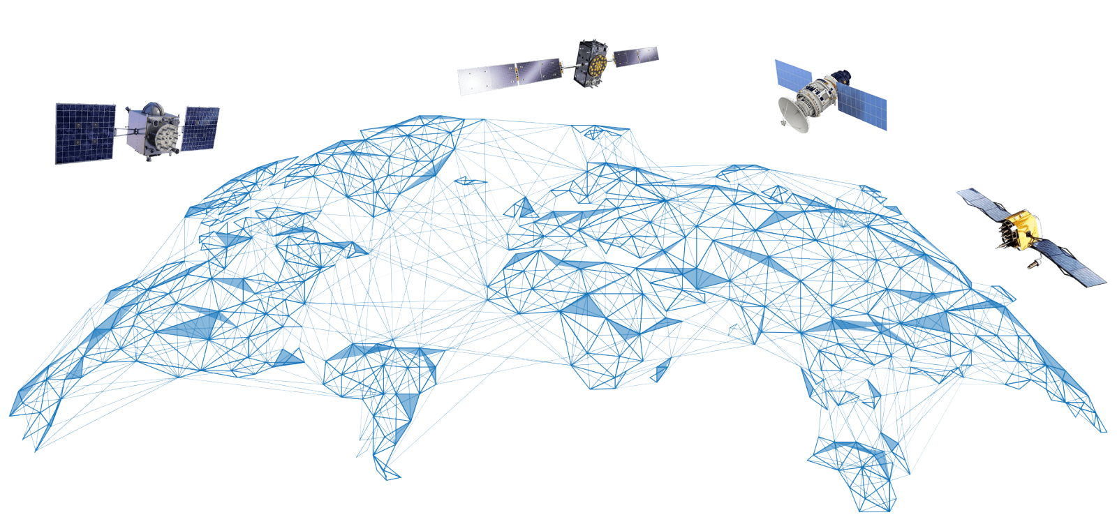
 GPS is part of the wider Global Navigation Satellite System (GNSS) used by professional surveying equipment.
Your receiver calculates its position using signals transmitted by satellites orbiting the Earth. However, those signals do not arrive at your receiver completely error-free.
According to GPS.gov's guide to GPS accuracy , positioning accuracy can be affected by factors including:
- Atmospheric conditions
- Satellite geometry
- Signal blockage
- Signals reflecting from buildings and other surfaces
- Receiver design and quality
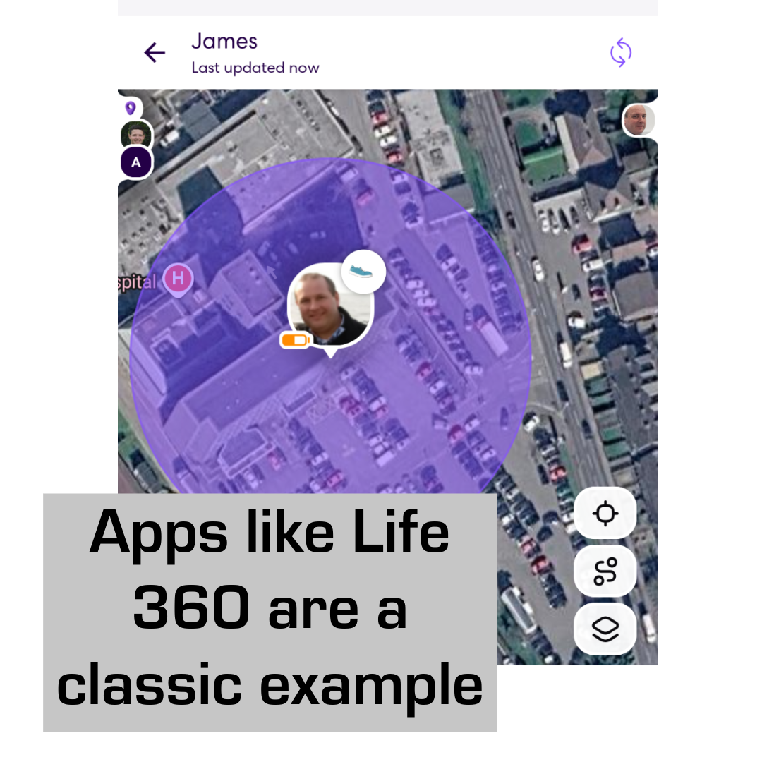
GPS.gov states that a typical GPS-enabled smartphone can be accurate to around 4.9 metres under open sky, while higher-end equipment combined with augmentation systems can provide positioning to within a few centimetres.
For general navigation, several metres may be perfectly acceptable.
For surveying a boundary, setting out foundations, checking levels, calculating volumes or controlling construction machinery, it isn't.
What Does a TopNET Correction Service Do?
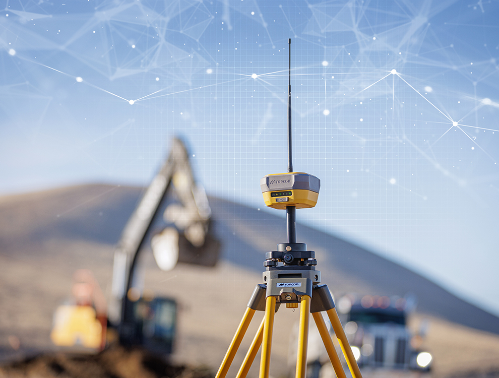
 TopNET Live is Topcon's GNSS positioning correction service.
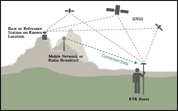
Rather than relying solely on the position calculated from satellite signals at your rover, TopNET uses a network of fixed GNSS reference stations.
The precise locations of these reference stations are known. Because the system knows where a reference station should be, it can compare that known position against the position being calculated from incoming GNSS satellite signals.
This allows errors to be identified and correction information to be calculated.
Topcon explains that its correction service consists of:
- A GNSS reference station network
- Correction calculation software
- A correction broadcast service
That correction information is then transmitted to compatible GNSS receivers in the field.
You can read more in Topcon's TopNET Live brochure .
How Does RTK Give You Centimetre-Level Accuracy?
One of the main technologies used for high-accuracy GNSS positioning is RTK — Real-Time Kinematic positioning.
With RTK, correction information from known reference stations is used alongside the satellite data received by your GNSS rover.
This allows the rover to determine its position much more precisely than it could using standalone GNSS.
The US National Geodetic Survey describes RTK as a method in which observations and corrections from a reference or base station are transmitted to a rover in real time, enabling centimetre-level positioning without the need for post-processing.
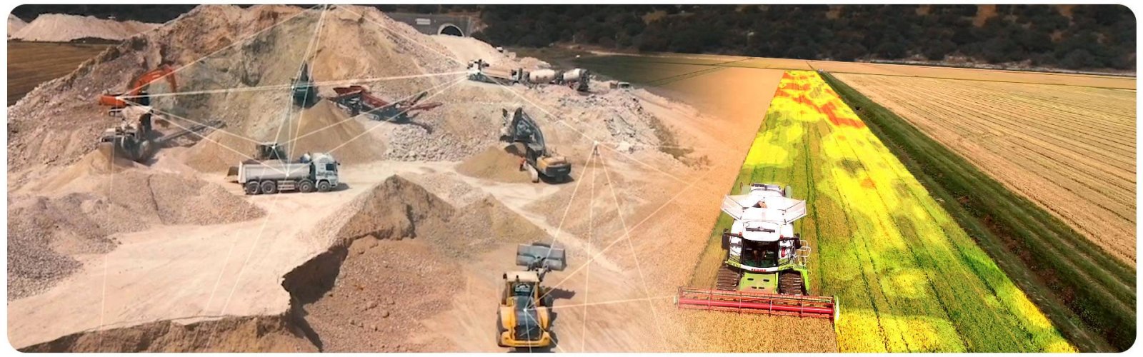
Topcon's GNSS correction services also explain how Network RTK services can provide centimetre-level positioning for professional users.
Why Do You Need to Renew Your TopNET Licence?
This is the part that can sometimes cause confusion.
You are not simply paying each year to continue using the physical GNSS receiver that you already own.
A TopNET subscription provides access to an ongoing GNSS correction service and its supporting infrastructure.
Topcon operates and monitors its TopNET Live networks and delivers correction data to compatible subscribed GNSS receivers.
Your subscription therefore provides continued access to services such as:
- GNSS reference station infrastructure
- Continuous satellite monitoring
- Real-time correction calculations
- Correction data transmitted to your receiver
- Network operation and monitoring
- Access to the correction service while your subscription remains active
For users who rely on GNSS equipment throughout the year, an annual licence provides continuous access to the correction service.

What Happens If Your TopNET Subscription Expires?
 Your GNSS receiver does not suddenly stop receiving satellite signals simply because your TopNET subscription has expired.
The important difference is that you no longer have access to the subscribed TopNET correction service.
That means you cannot rely on that service to provide the real-time correction data required for high-accuracy RTK positioning.
For surveying and construction teams, this distinction is critical.
A rover that can see satellites is not necessarily producing a survey-grade fixed RTK position.
A Simple Way to Understand TopNET
Without Corrections
GNSS satellites → GNSS receiver → metre-level positioning
With TopNET RTK Corrections
GNSS satellites + reference network + correction data → GNSS receiver → centimetre-level positioning
The receiver is the hardware doing the measurement.
TopNET is the service helping it determine that position with the accuracy required for professional work.
Why Does This Matter on a Construction or Surveying Project?
 Accuracy problems in the field can quickly become expensive.
Incorrect positioning can potentially lead to:
- Setting out points in the wrong location
- Rework
- Incorrect excavation or grading
- Errors in surveys and as-built information
- Lost site time
- Additional checks and repeat visits
For contractors, surveyors and utilities companies, the value of a GNSS correction subscription therefore isn't simply the correction data itself.
It is the ability to obtain repeatable, high-accuracy positioning in real time, helping field teams work efficiently without establishing an individual local base station for every job.
Topcon outlines these benefits in its TopNET Live correction service information .
Does TopNET Only Use GPS?
 No.
No.
Although the term GPS is commonly used to describe satellite positioning equipment, modern professional receivers can use several GNSS constellations.
Topcon's GNSS correction service information explains how modern GNSS networks can work with multiple satellite constellations, helping improve satellite availability, reliability and positioning performance.
This is why GNSS correction service is technically a more accurate description than simply calling TopNET a "GPS licence".
Is a TopNET Correction Subscription Worth Renewing?
If you depend on your GNSS equipment for accurate surveying, setting out or machine positioning, access to a reliable correction service is a fundamental part of the system.
Your GNSS rover provides the hardware.
The satellites provide the positioning signals.
TopNET provides the correction data that enables the high level of positioning accuracy required on site.
So when your annual TopNET licence comes up for renewal, you are effectively renewing access to the infrastructure and correction service that allows your compatible GNSS equipment to achieve RTK-level accuracy.
Need to Renew Your TopNET Correction Licence?
If your TopNET subscription is approaching its expiry date, renewing it before it expires helps avoid disruption when you next need centimetre-level GNSS positioning on site.
Contact Design & Survey to discuss your TopNET licence renewal or the correction service required for your GNSS equipment.