

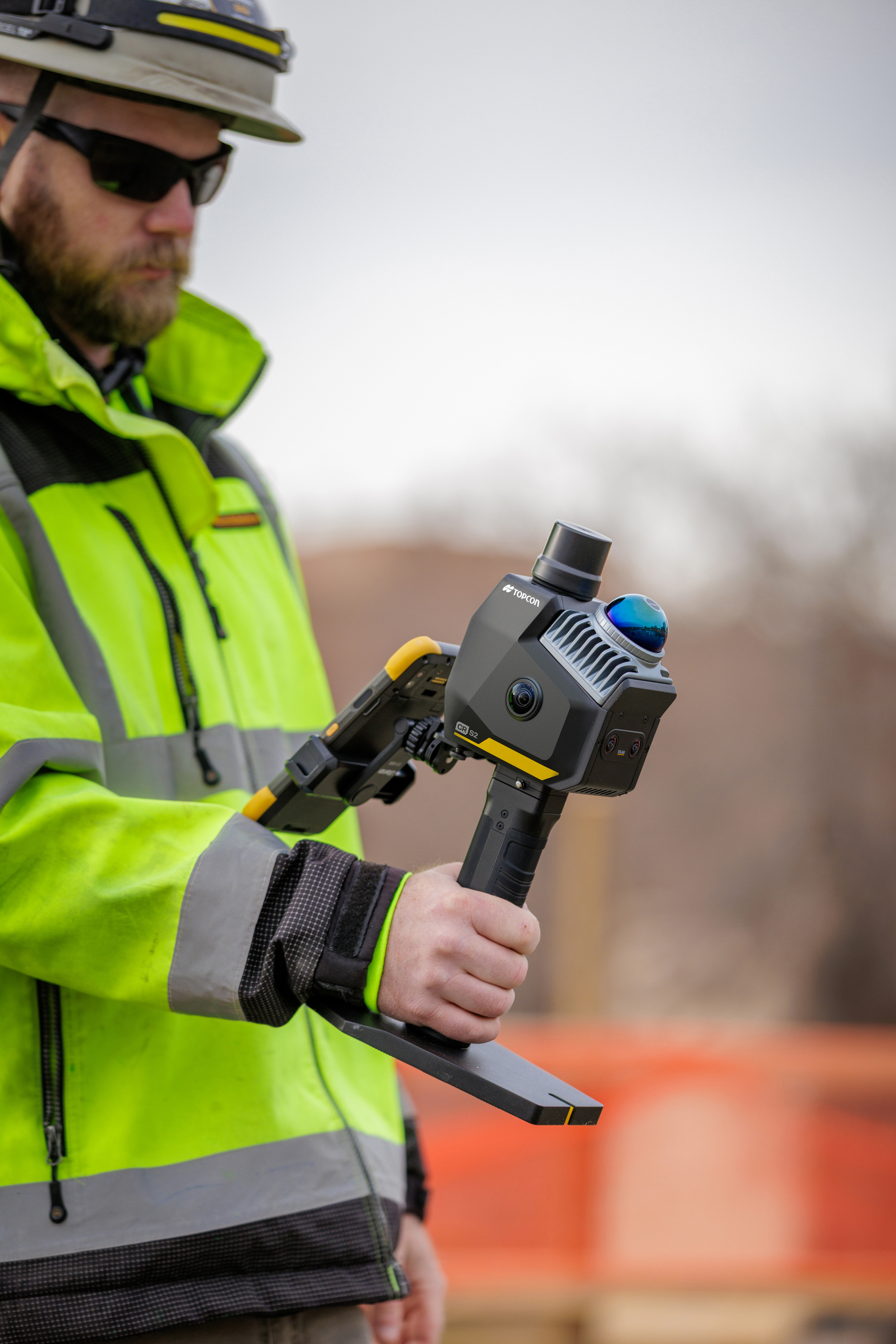
 From surveying existing buildings to documenting construction progress, 3D laser scanning is changing how construction and surveying professionals capture information about the world around them.
Instead of measuring individual points one at a time, modern scanning equipment can capture large quantities of spatial information, creating detailed digital representations of buildings, structures and sites.
Developments in LiDAR, SLAM technology and handheld laser scanners are also creating new opportunities for capturing this information while moving through an environment.
But what exactly is 3D laser scanning?
And what is the difference between LiDAR, SLAM, visual SLAM and a point cloud?
In this guide, we explain:
- What 3D laser scanning is and how it works
- How LiDAR measures real-world environments
- What SLAM and visual SLAM technology do
- How point clouds are created and used
- The differences between handheld and static scanners
- Practical applications in construction and surveying
- How Topcon's CR-S handheld scanners fit into modern reality-capture workflows
The aim is to help you understand the technology and where it may be useful, without needing to be a specialist in 3D scanning.
A note on scanning technology and accuracy
This article provides general educational guidance based on published Topcon product information and established 3D surveying principles.
Different scanning technologies have different capabilities. Performance depends on the equipment, environment, measurement requirements, control procedures and data processing workflow.
Always consider the accuracy and deliverables required for your project before selecting a scanning method.
What is 3D laser scanning?
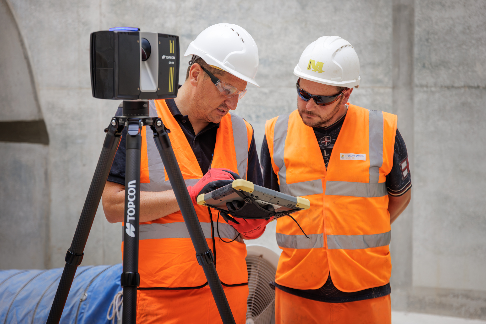
3D laser scanning is a surveying and measurement technique used to capture the shape, dimensions and position of physical objects and environments.
A scanner measures distances to surrounding surfaces and uses those observations to build a three-dimensional dataset.
Depending on the equipment and scanning method, this can include thousands or hundreds of thousands of measurements every second, with some systems capturing considerably more.
The collected measurements are processed into a digital representation of the scanned environment, commonly known as a point cloud.
This information can be used for:
- Topographic and measured building surveys
- As-built documentation
- Construction progress monitoring
- Building refurbishment and redevelopment
- Infrastructure and asset documentation
- CAD and BIM modelling workflows
- Surface measurement and volume calculations
For example, when surveying an existing building, a traditional approach may involve selecting and measuring individual features or positions.
Laser scanning offers another approach by collecting extensive surface information that can be measured and interpreted later, provided the capture is sufficiently complete and accurate for the intended purpose.
In simple terms:
A 3D laser scanner captures measurements of its surroundings to create a digital record of what is physically there.
That record can then support measurement, drawing production, modelling, comparison and project documentation.
 How does LiDAR scanning work?
LiDAR stands for Light Detection and Ranging.
It is a technology that uses laser light to measure distances between a sensor and surrounding objects or surfaces.
In a common type of LiDAR system, the sensor emits a laser pulse and measures the time taken for the reflected light to return.
Using the speed of light and the measured return time, the instrument calculates the distance to the surface.
When these measurements are collected across many directions and combined with information about the scanner's position and orientation, they can form a three-dimensional dataset.
The important distinction is that LiDAR is a measurement technology, while 3D laser scanning describes the wider process of capturing spatial information.
LiDAR can be used in:
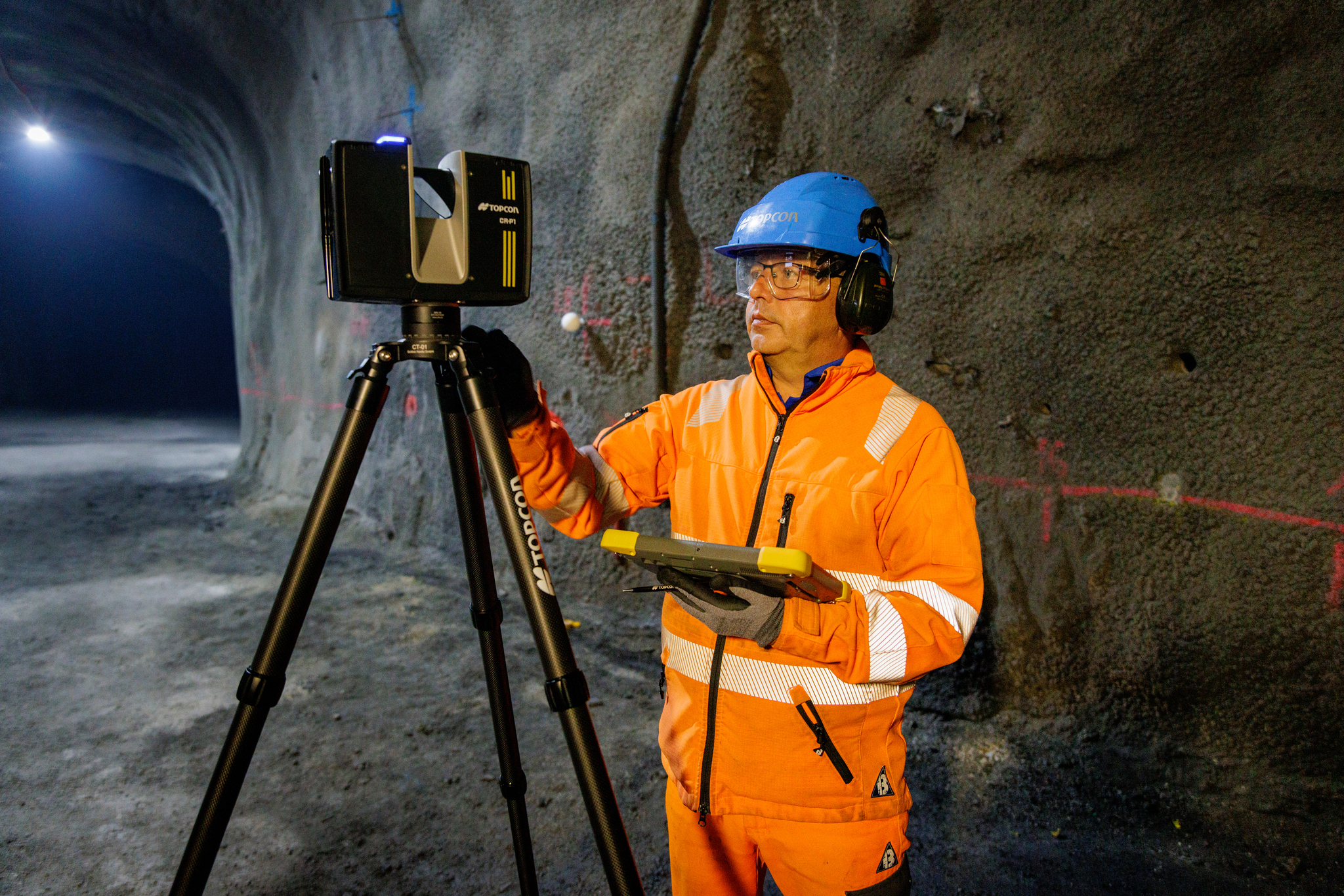
- Tripod-mounted terrestrial laser scanners
- Handheld 3D scanning systems
- Vehicle-mounted mobile mapping systems
- Airborne surveying systems
- Other specialised mapping and measurement equipment
Not every LiDAR system operates in exactly the same way. Different instruments may use different measurement methods, sensors and positioning technologies.
That is why scanner specifications and the intended application matter more than the term LiDAR alone.
 What is SLAM scanning?
SLAM stands for Simultaneous Localisation and Mapping.
It describes a process in which a device estimates its own position while simultaneously building a map of its surroundings.
In traditional static laser scanning, the instrument is positioned at fixed locations. The individual scans are then registered together to create a combined dataset.
SLAM-based scanning allows a different approach.
Instead of remaining stationary, the scanner can move through an environment while its sensors and processing algorithms continuously estimate its movement and position.
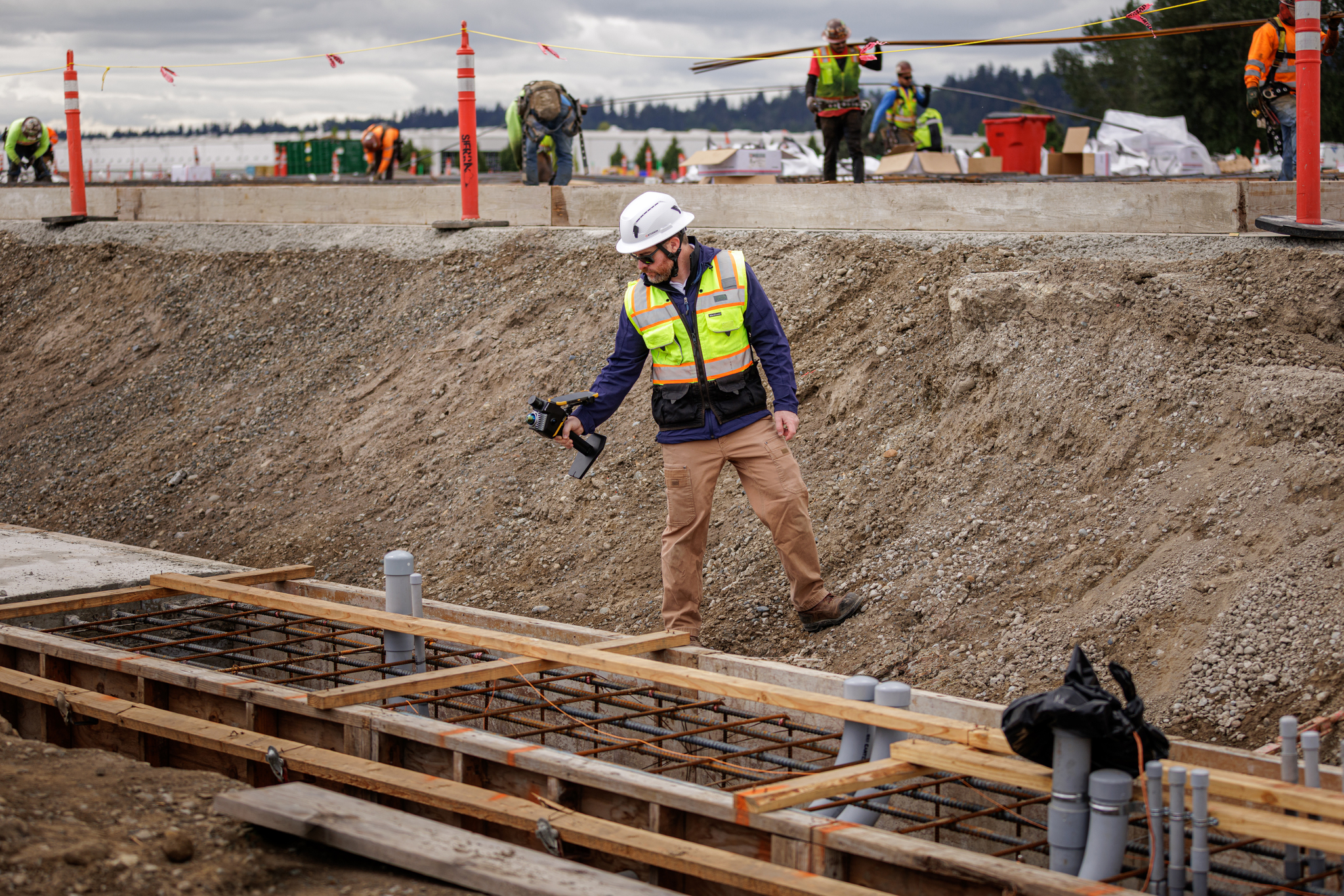
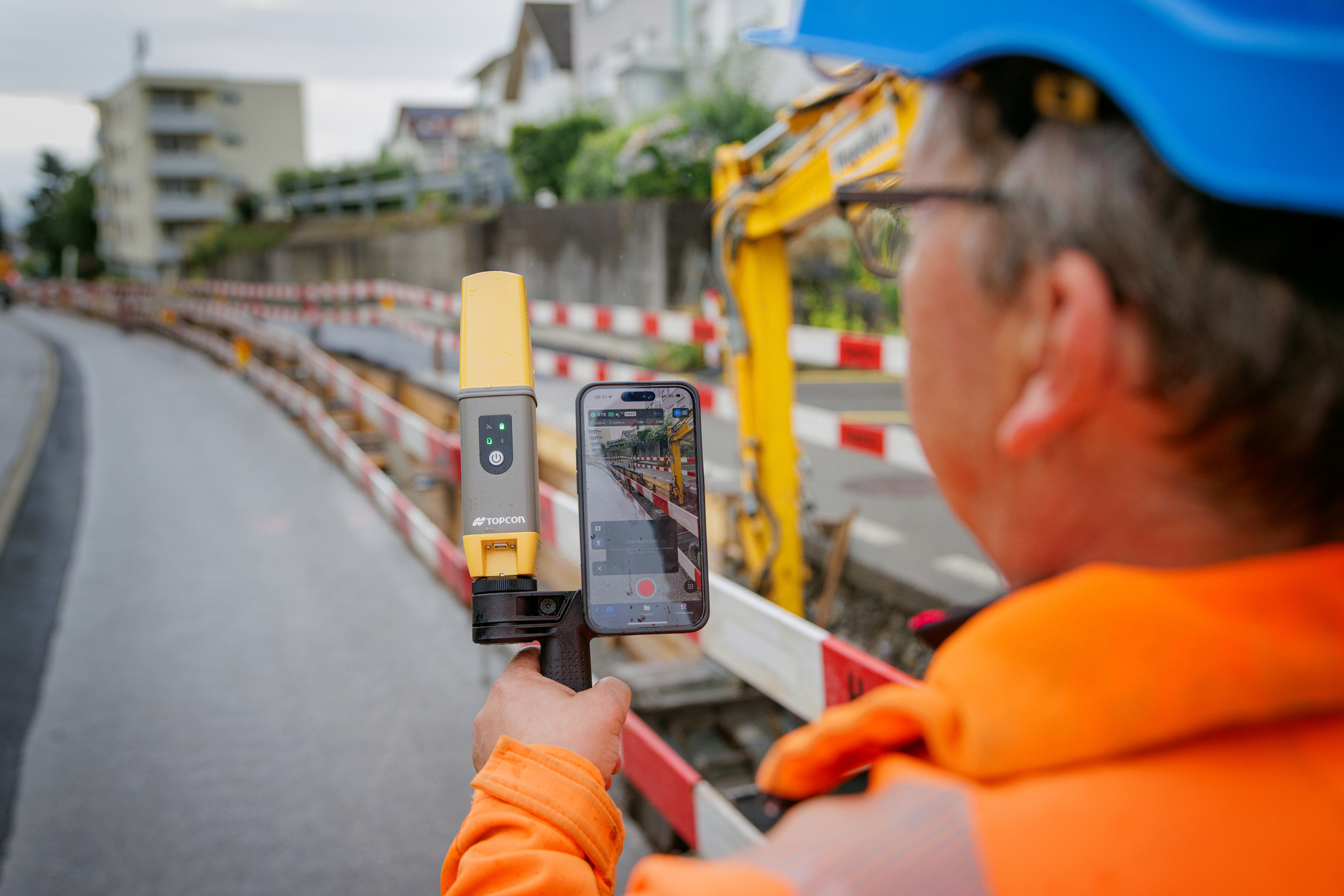
This makes SLAM especially relevant to mobile and handheld 3D scanning systems.
For example, an operator could move through the accessible rooms and corridors of a building while collecting 3D information along the route.
The system uses observations from its surroundings to help determine how the scanner has moved, allowing measurements captured at different positions to be combined into a common map.
LiDAR measures the surroundings. SLAM helps the scanner work out where it is within those surroundings.
The two technologies can work together in a mobile mapping system, rather than being alternatives to one another.
 What is visual SLAM?
Visual SLAM, or VSLAM, uses camera images to identify and track recognisable features within an environment.
As the camera moves, the system observes how those features change position within the images and uses that information to help estimate movement.
Some mobile scanning systems combine visual information with LiDAR measurements, inertial sensors and other positioning technologies.
This can provide additional information for the localisation process, although performance still depends on the scanning environment and the particular system.
Visual SLAM is not a guarantee of accurate mapping in every location.
Lighting, repetitive surroundings, feature-poor environments and reflective surfaces may make localisation more challenging.
The manufacturer's recommended scanning procedure and the project's accuracy requirements should always guide the workflow.
Does SLAM scanning need GPS or GNSS?
Not necessarily.
One of the useful characteristics of SLAM is that it can estimate movement and build a local map without relying continuously on satellite positioning.
This is particularly relevant inside buildings, tunnels and other environments where GNSS reception may be limited or unavailable.
However, collecting a local point cloud is different from placing that data accurately into a project or national coordinate system.
For georeferenced surveying work, GNSS observations, control points or another appropriate positioning method may still be required.
What can affect SLAM scanning performance?
SLAM relies on successfully estimating how the scanner moves relative to its surroundings.
Depending on the system, performance may be affected by:
- Insufficient recognisable environmental features
- Long areas of repetitive or similar-looking geometry
- Reflective or transparent surfaces
- Moving objects within the environment
- Poor lighting for camera-based systems
- Rapid or unsuitable scanner movement
- Inadequate scan overlap or trajectory design
Many mobile mapping workflows benefit from carefully planned scanning routes and appropriate quality checks.
Where survey accuracy is important, independent control and verification should form part of the measurement process.
 What is a point cloud?
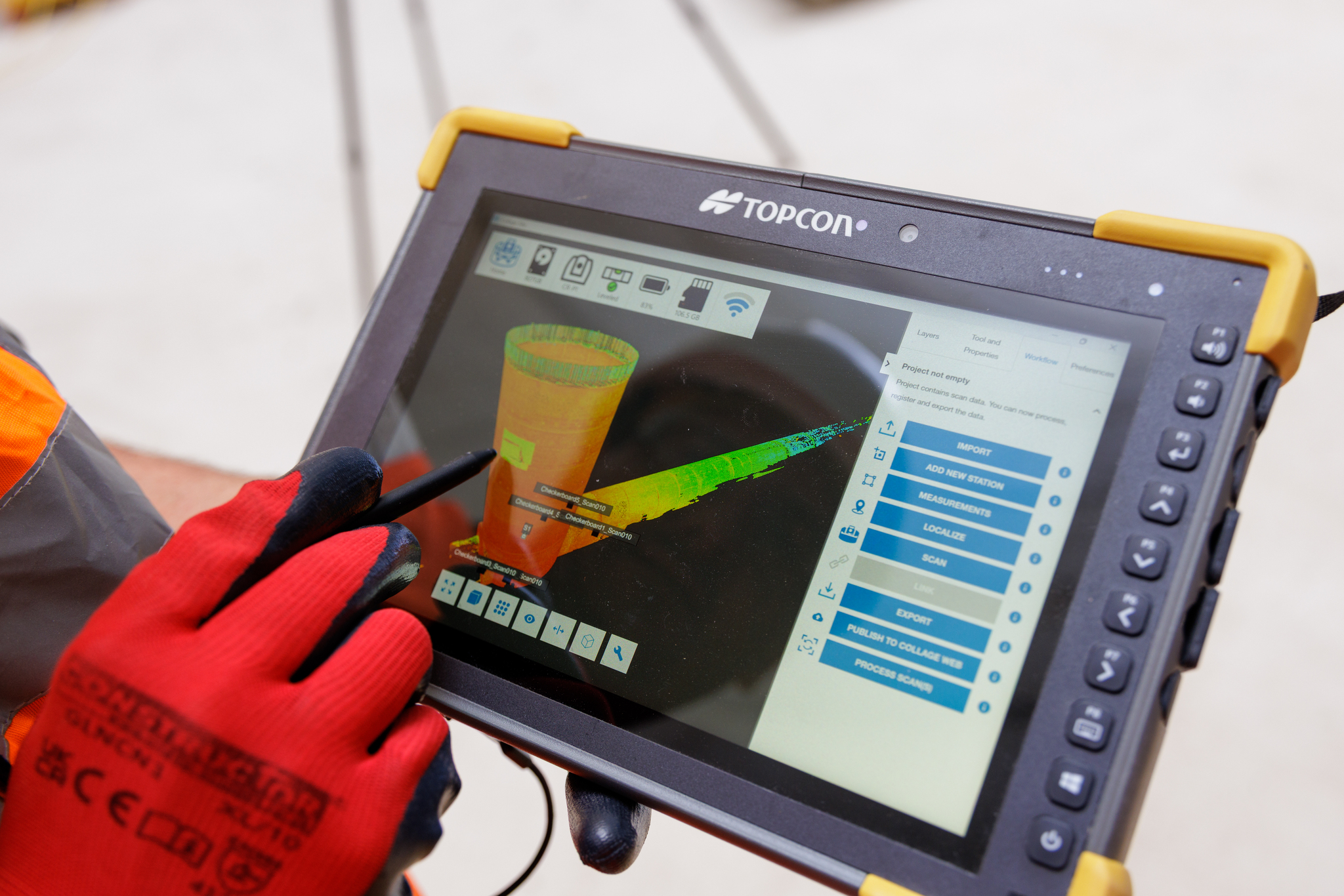
A point cloud is a collection of three-dimensional measurement points representing objects and surfaces in the real world.
Each point has a position in 3D space, usually expressed as X, Y and Z coordinates.
Depending on the scanner and processing method, points may also contain additional information such as colour or laser intensity.
When viewed together, these measurements produce a recognisable representation of the scanned environment.
For example, a point cloud captured inside an industrial building might show:
- Walls and floors
- Structural steelwork
- Columns and beams
- Visible pipework
- Plant and machinery
- Accessible building services
The data can then be inspected, measured and processed using suitable software.
What happens to point-cloud data after scanning?
Once the scan has been collected, the data may need to be processed before it is ready for its intended use.
This can involve:
- Processing raw scanner observations
- Aligning or registering captured data
- Checking the quality of the resulting point cloud
- Removing unnecessary or unwanted measurements
- Georeferencing the dataset where required
- Exporting data to compatible software formats
- Creating drawings, models or other project deliverables
A point cloud is not automatically a finished CAD drawing or BIM model.
Further interpretation and modelling may be required, depending on what the customer needs.
Topcon's Collage software solutions provide tools for working with point-cloud data, including processing, integration, visualisation and sharing.
Handheld vs traditional 3D laser scanners: what is the difference?
Not all 3D laser scanners collect data in the same way.
Two common approaches are mobile or handheld scanning and static terrestrial laser scanning.
Both have advantages, and neither method is automatically the best choice for every project.
| Consideration | Handheld / Mobile SLAM Scanner | Static / Tripod-Mounted Scanner |
|---|---|---|
| Capture method | Captures information while the operator moves through the environment. | Captures information from fixed scanner positions. |
| Setup | Generally requires fewer individual static scanner setups. | Requires positioning the scanner at planned stations. |
| Coverage | Useful for continuous scanning through accessible spaces. | Useful for controlled capture from selected positions. |
| Positioning | May use SLAM, inertial sensors, cameras and additional control. | Individual scans are registered and may be tied to survey control. |
| Accuracy | Depends on sensor performance, trajectory estimation, control and processing. | Depends on instrument specifications, scan geometry, registration and control. |
| Typical applications | Building interiors, site documentation, mobile mapping and progress capture. | Detailed engineering surveys, measured building surveys and controlled static scanning. |
| Important considerations | Scanning route, localisation quality, environment and required verification. | Scanner positions, visibility, registration quality and survey control. |
Handheld scanners can offer workflow advantages when moving through an environment is more practical than repeatedly repositioning a static scanner.
However, a mobile scanner does not automatically deliver the same accuracy or detail as every terrestrial scanning system.
The right choice depends on what needs to be measured and how the resulting data will be used.
Important: scanning speed and accuracy are different considerations.
A system that captures data quickly is not necessarily the most appropriate instrument for every measurement task.
For critical engineering measurements, the scanner and associated survey procedure must be capable of meeting the required tolerances.
Where is 3D laser scanning used in construction and surveying?
3D laser scanning can be used across a wide variety of applications, from documenting existing buildings to supporting infrastructure projects.
The practical benefits depend on the size and complexity of the environment, the level of detail needed and how the captured information will be processed.
Explore some of the main applications below.
1. As-built surveys and building refurbishment
Before refurbishment, extension or redevelopment work begins, designers and contractors need to understand the existing structure.
Unfortunately, the original drawings may be incomplete, outdated or inconsistent with the current layout.
3D laser scanning can provide a detailed record of accessible building geometry, helping project teams understand existing conditions before design or construction work proceeds.
Potential applications include:
- Measured building surveys
- Existing-condition documentation
- Structural layout recording
- Refurbishment planning
- Preparation of CAD drawings
- Scan-to-BIM workflows
The resulting dataset can provide a useful reference throughout the design and construction process.
2. Construction progress monitoring
Construction projects change continuously as work progresses.
3D laser scanning can be used to capture conditions at different stages, creating a measurable digital record of the site.
When datasets are registered into a suitable common reference system, they can support comparisons between different survey dates or against design information.
This may help teams review:
- Construction progress
- Installed structural elements
- Changes to the site environment
- As-built conditions
- Potential discrepancies requiring further investigation
Mobile scanning can be particularly interesting for repeat documentation where the capture method meets the project's requirements.
3. Civil engineering and earthworks
3D scanning can support the collection of surface information for civil engineering and earthworks projects.
Depending on site conditions and the selected instrument, the data may be used for:
- Terrain documentation
- Existing surface models
- Excavation surveys
- Stockpile volume calculations
- Construction-stage comparisons
- Infrastructure mapping
Suitable control, surface coverage and data processing remain essential.
Laser measurements represent surfaces visible to the scanner, so vegetation, obstructions and incomplete coverage can affect the resulting model.
4. Utilities and infrastructure documentation
Utilities and infrastructure environments can contain complex arrangements of structures, plant, visible pipework and equipment.
3D scanning can support the documentation of accessible assets and existing site conditions.
Potential uses include:
- Recording exposed infrastructure
- Documenting accessible chambers and structures
- Capturing visible pipework and equipment
- Supporting asset management records
- Providing spatial information for design and maintenance
It is important to distinguish this from locating buried utilities.
Conventional surface LiDAR scanning does not detect underground pipes and cables through the ground.
Appropriate buried-service detection and verification methods are still required.
5. Scan-to-BIM and construction verification
Point-cloud data can provide a valuable geometric reference for Building Information Modelling and CAD workflows.
For example, survey information captured from an existing building can help a modelling team develop an accurate representation of its current geometry.
Point clouds can also support comparisons between physical construction and design models.
Typical applications include:
- Existing-building modelling
- Design coordination
- As-built model development
- Clash investigation
- Construction verification
- Asset documentation
However, point clouds and BIM models are not the same thing.
The final BIM deliverable depends on the required information, the modelling process and the accuracy of the captured data.
How accurate is 3D laser scanning?
Accuracy is one of the most important considerations when choosing a 3D laser scanning system.
However, the question "How accurate is a 3D scanner?" does not have one universal answer.
Different scanners use different measurement technologies, sensors and positioning methods.
The accuracy of the final dataset also depends on the survey procedure and the environment in which the equipment is used.
Factors that can influence results include:
- Instrument specifications: The measuring performance of the scanner itself.
- Scanning distance: The range and angle of the measurement.
- Surface characteristics: Reflective, transparent or difficult surfaces.
- Environmental conditions: Lighting, dust, movement and obstructions.
- Registration: The quality of alignment between captured datasets.
- SLAM trajectory: The quality of position estimates in mobile scanning.
- Survey control: The accuracy of the reference measurements used.
- Processing: The methods used to prepare and verify the final dataset.
For handheld SLAM scanners, the route taken through the environment and the surrounding geometry can be particularly important.
For static scanners, instrument positioning, scan overlap, registration and control are major considerations.
Do not confuse maximum scanning range with survey accuracy.
A scanner capable of measuring surfaces at a particular distance is not necessarily capable of achieving the same measurement tolerance throughout that range.
Likewise, capturing more points per second does not automatically produce a more accurate survey.
Always start with the required project tolerances and choose an appropriate capture and verification method.
 Modern handheld 3D scanning: introducing Topcon's CR-S range
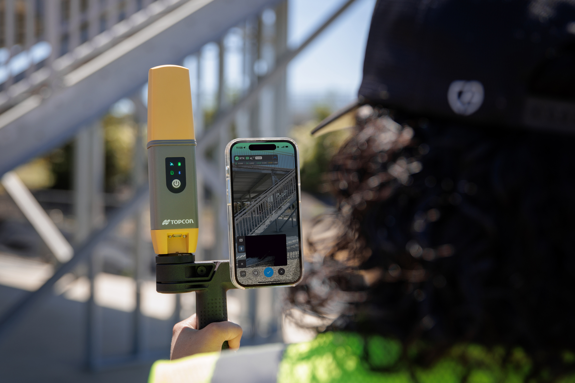
As mobile mapping technology develops, manufacturers are combining LiDAR, cameras and positioning sensors into increasingly portable scanning systems.
One example is Topcon's Capture Reality range, which includes handheld 3D scanning solutions designed for surveying, construction and infrastructure applications.
Two relevant systems are the Topcon CR-S2 and the newer Topcon CR-S1.
Both illustrate how different sensing and localisation technologies can be used to support mobile reality capture.
Topcon CR-S2: visual SLAM scanning
The Topcon CR-S2 is a handheld 3D scanner using visual SLAM technology.
It combines mobile scanning with camera-assisted localisation to support the capture of three-dimensional information while the operator moves through an environment.
According to Topcon's published specifications:
- Maximum stated scanning range: 70 metres at 90% reflectivity
- Scan data rate: 200,000 points per second
- Localisation technology: visual SLAM
Topcon identifies applications including topographic mapping, construction site surveys, progress monitoring and infrastructure assessment.
For businesses exploring handheld scanning, the CR-S2 provides an example of how LiDAR and visual localisation can be combined in one mobile mapping workflow.
As with any mobile scanner, its suitability should be assessed against the required accuracy, working environment and final deliverables.
Topcon CR-S1: multi-sensor handheld scanning
Topcon announced the CR-S1 in February 2026 as an addition to its handheld Capture Reality scanner portfolio.
The system combines LiDAR, panoramic cameras, visual SLAM cameras and GNSS-related positioning capability.
It uses multiple localisation methods, described by Topcon as MLF-SLAM, to support mobile mapping in different environments.
According to Topcon's published specifications:
- Maximum stated scanning range: 120 metres at 90% reflectivity
- Scan data rate: 320,000 points per second
- Localisation approach: multiple localisation fusion SLAM
Topcon highlights applications including surveying, construction, infrastructure mapping, tunnel surveying and utility mapping.
The CR-S1 demonstrates how handheld systems are developing beyond a single positioning method by combining observations from multiple sensors.
However, its increased stated range and point capture rate should not be interpreted as a universal guarantee of better accuracy for every application.
Topcon CR-S1 vs CR-S2: a quick comparison
| Feature | Topcon CR-S1 | Topcon CR-S2 |
|---|---|---|
| Scanner type | Handheld 3D scanner | Handheld 3D scanner |
| Localisation technology | MLF-SLAM | Visual SLAM |
| Maximum stated range | 120 metres | 70 metres |
| Scan data rate | 320,000 points/s | 200,000 points/s |
| Applications | Surveying, infrastructure and complex mapping environments | Site surveys, mobile mapping and progress documentation |
Range figures are based on manufacturer specifications at 90% reflectivity. They do not represent guaranteed survey accuracy or usable range under every site condition.
Choosing between scanners should involve more than comparing specifications.
Site conditions, scanning procedures, data processing, software compatibility and the required accuracy all influence which equipment is suitable.
For further manufacturer information, see Topcon's 3D laser scanner range.
Is 3D laser scanning worth the investment?
For organisations regularly carrying out measured surveys, construction documentation or infrastructure mapping, 3D scanning may offer a useful addition to existing measurement workflows.
However, the commercial value depends on the projects being undertaken and how often the equipment will be used.
It is important to consider more than the scanner's purchase price.
Before investing, ask:
- What type of environments will we be scanning?
- What accuracy is required?
- What data formats and deliverables do our customers need?
- How often will the equipment be used?
- Will handheld scanning improve our existing capture workflow?
- What processing software will be required?
- Do we have the skills to process and verify point clouds?
- Would purchasing, hiring or outsourcing be more economical?
For some businesses, mobile scanning may provide opportunities to capture existing conditions more efficiently.
For others, a traditional terrestrial scanner, total station or combination of technologies may be more appropriate.
The best scanning solution is the one that meets the required measurement and deliverable standards while making commercial sense for the organisation.
Frequently Asked Questions
What is the difference between LiDAR and SLAM?
LiDAR is a laser-based distance-measuring technology.
SLAM is a process that allows a moving device to estimate its position while building a map of its environment.
Mobile scanning systems can combine the two technologies to capture 3D information while moving.
What is the difference between SLAM and visual SLAM?
SLAM is the wider concept of simultaneous localisation and mapping.
Visual SLAM specifically uses camera imagery to track environmental features and estimate movement.
Some systems combine visual information with LiDAR and other positioning sensors.
Can a 3D laser scanner be used outdoors?
Yes. Many 3D laser scanners are designed for outdoor surveying, construction and infrastructure applications.
Performance depends on the instrument's capabilities, environmental conditions, measuring range and required accuracy.
Does a handheld SLAM scanner work without GPS?
Many SLAM systems can capture a local 3D map without continuous GNSS reception.
However, survey control or other positioning methods may still be needed to accurately georeference the dataset.
Can 3D scanning replace a total station?
Not in every application.
3D laser scanners are useful for collecting extensive surface measurements, while total stations remain important for precise point measurement, setting out and survey control.
The technologies can complement one another.
Can laser scanning be used to calculate stockpile volumes?
Yes, where the selected scanning system and survey method provide suitable surface coverage and accuracy.
The data must be processed into an appropriate surface model, and the reference surface or calculation method must be defined.
Vegetation, hidden surfaces and incomplete capture can affect the result.
Can a point cloud be used in BIM software?
Yes. Point clouds can support CAD and BIM workflows where the relevant data formats are compatible.
Further processing and modelling are normally required to produce a structured BIM model.
How much does a 3D laser scanner cost?
Costs vary considerably depending on scanner technology, performance, software, accessories and support requirements.
Businesses should consider the total cost of ownership, including processing software, training, maintenance and operational requirements.
Equipment selection and pricing should be based on the intended application rather than specifications alone.
Explore 3D laser scanning with Design & Survey
3D laser scanning offers new ways to capture, document and understand real-world environments.
From traditional terrestrial scanning to modern handheld LiDAR and SLAM systems, different approaches can support a wide range of surveying, construction and infrastructure requirements.
Understanding the differences between these technologies is an important first step towards choosing suitable equipment.
Considering 3D scanning for your projects?
Design & Survey supplies Topcon surveying and 3D scanning equipment for professional applications.
Whether you're exploring handheld scanning for the first time or considering how reality capture could fit into your existing workflow, contact our team to discuss your requirements.
Explore the available equipment and find a solution suited to the work you carry out.
Further resources
For further technical information about 3D scanning equipment and related workflows, the following manufacturer resources provide additional detail.
Product information is based on published Topcon resources. Specifications, software availability and supported workflows may change. Always refer to current manufacturer documentation when evaluating equipment for a specific project.